Magdalena Valley montane forests

Gallery (4)
Map

Map
Gallery
Facts and practical information
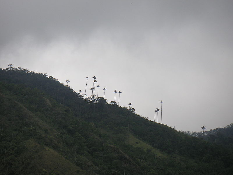
The Magdalena Valley montane forests is an ecoregion in the Andes mountains of central Colombia. ()
Coordinates: 5°31'1"N, 74°6'29"W
Location
Boyacá
ContactAdd
Social media
Add
Day trips
Magdalena Valley montane forests – popular in the area (distance from the attraction)
Nearby attractions include: Muzo.
