Múcura Island

Gallery (1)
Map
Map
Facts and practical information
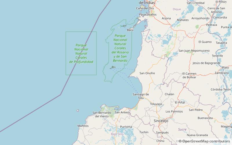
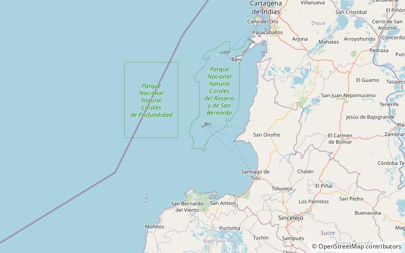
Múcura Island is a coral island located in the Archipelago of San Bernardo, Gulf of Morrosquillo, Caribbean Sea. It is governed by Colombia, and is a part of the District of Cartagena de Indias. ()
Location
Sucre
ContactAdd
Social media
Add
Day trips