Cerro Negro de Mayasquer

Map
Facts and practical information
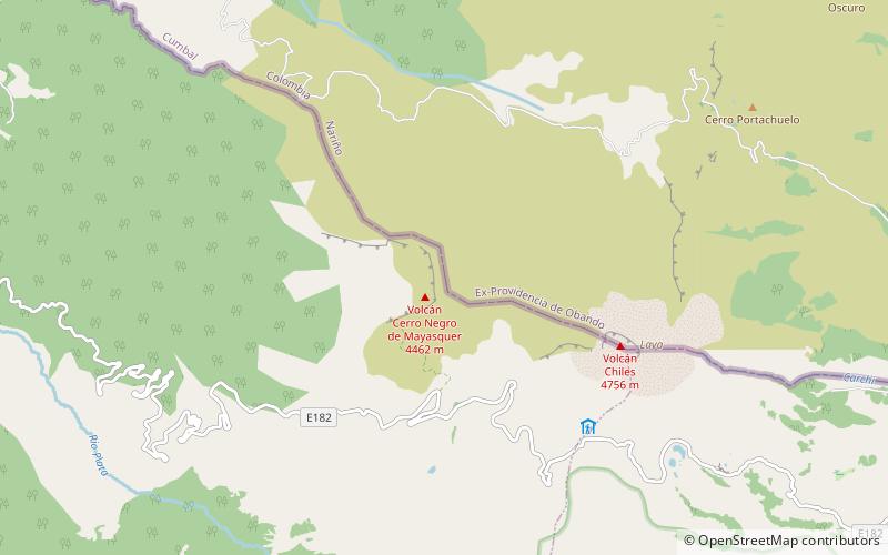
Cerro Negro de Mayasquer is a volcano on the border of Colombia and Ecuador. It lies 3 kilometres north-west of the volcano Chiles, and the two peaks are considered part of the same Chiles-Cerro Negro volcanic complex. These volcanoes, together with Cumbal are andesitic in rock type. A 1936 eruption reported by the Colombian government agency INGEOMINAS may have been from the Ecuadorean volcano Reventador, otherwise the volcano has not erupted for around 160,000 years. ()
Location
Nariño
ContactAdd
Social media
Add
Day trips
Cerro Negro de Mayasquer – popular in the area (distance from the attraction)
Nearby attractions include: Chiles Volcano.
