Cesar-Ranchería Basin, Valledupar
Map
Gallery

Facts and practical information
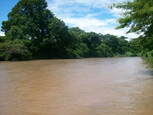
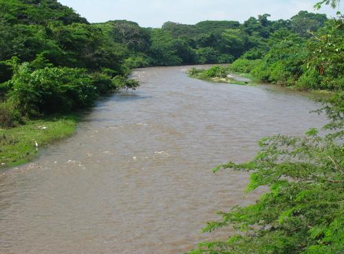
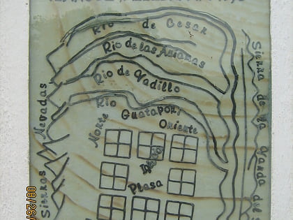
The Cesar-Ranchería Basin is a sedimentary basin in northeastern Colombia. It is located in the southern part of the department of La Guajira and northeastern portion of Cesar. The basin is bound by the Oca Fault in the northeast and the Bucaramanga-Santa Marta Fault in the west. The mountain ranges Sierra Nevada de Santa Marta and the Serranía del Perijá enclose the narrow triangular intermontane basin, that covers an area of 11,668 square kilometres. The Cesar and Ranchería Rivers flow through the basin, bearing their names. ()
Coordinates: 10°27'0"N, 73°15'0"W
Address
Valledupar
ContactAdd
Social media
Add
Day trips
Cesar-Ranchería Basin – popular in the area (distance from the attraction)
Nearby attractions include: Academia de Historia del Cesar, Estadio Armando Maestre Pavajeau.


