Chapinero, Bogotá
Map

Gallery
Facts and practical information
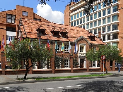
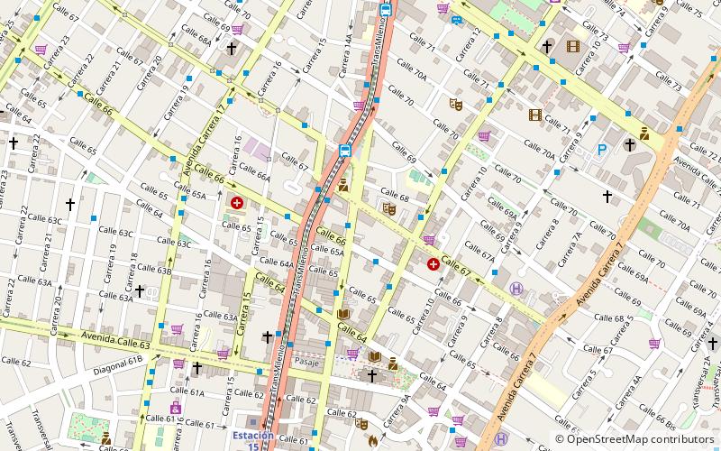
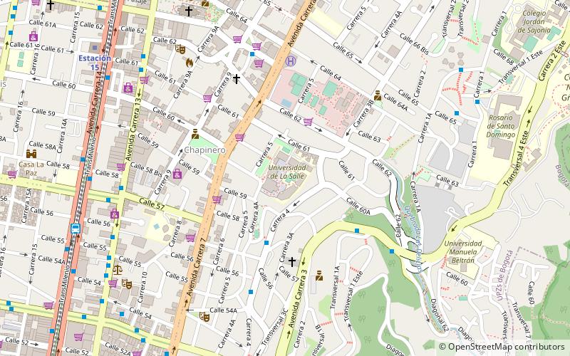
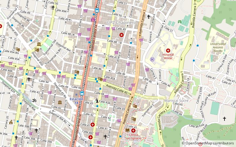
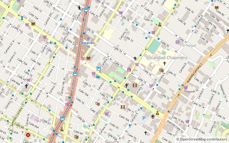
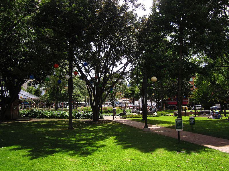
Chapinero is the 2nd locality of Bogotá, capital of Colombia. It is located in the north of the city and is one of the more affluent districts of the city. This district is mostly inhabited by upper class residents. The boundaries are Calle 39 in the south, Avenida Caracas in the west, Calle 100 in the north and the Eastern Hills in the east. ()
Day trips
Chapinero – popular in the area (distance from the attraction)
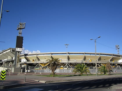
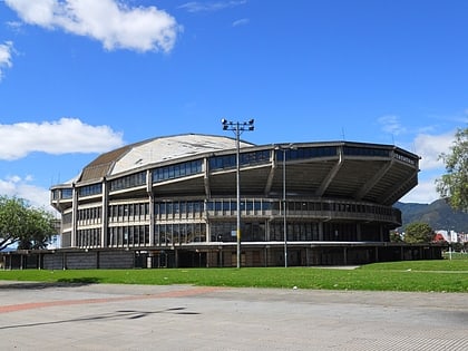
Nearby attractions include: Estadio El Campín, Theatron, Movistar Arena, Jorge Eliecer Gaitan Museum.
Frequently Asked Questions (FAQ)
Which popular attractions are close to Chapinero?
Nearby attractions include Avenida Caracas, Bogotá (3 min walk), La Salle University, Bogotá (9 min walk), San Luís, Bogotá (11 min walk), Teatro Royal Center, Bogotá (11 min walk).
How to get to Chapinero by public transport?
The nearest stations to Chapinero:
Bus
Bus
- Calle 63 (4 min walk)
- Calle 57 (9 min walk)
