La Esmeralda Dam
Map

Map

Facts and practical information
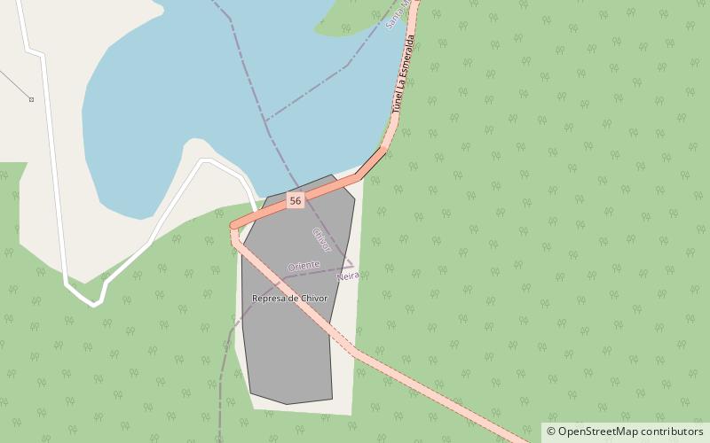
La Esmeralda Dam is an embankment dam on the Batá River northwest of Santa María in Boyacá Department, Neira Province, Valle de Tenza Colombia, 52 km to south of Tunja city. The primary purpose of the dam is hydroelectric power production and it is part of the Chivor Hydroelectric Project. Water from the Batá is diverted by the dam to a power station that discharges to the Lengupá River. The power station supplies 8% of Colombia's power demand. ()
Local name: Embalse la Esmeralda Opened: 1976 (50 years ago)Area: 4.86 mi²Length: 1017 ftHeight: 778 ftReservoir depth: 427 ftCoordinates: 4°54'3"N, 73°17'49"W
Location
Boyacá
ContactAdd
Social media
Add
