Los Estoraques, Los Estoraques Unique Natural Area
Map

Map

Facts and practical information
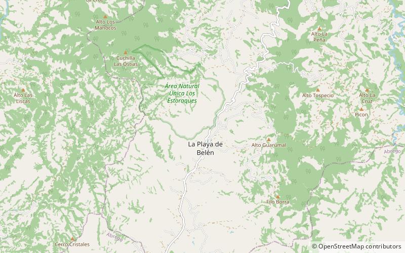
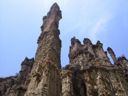
The Los Estoraques Unique Natural Area is one of the smaller national parks, covering only 6 km2, located in the Cordillera Oriental of Colombia in the Norte de Santander Department. The landscape is shaped by large brownstone pedestals and columns formed by thousands of years of erosion. The area is part of the Catatumbo River basin and elevation range from 1,450 to 1,900 meters above mean sea level. It was declared an Área Natural Única in 1998. ()
Local name: Área natural única Los Estoraques Established: 24 August 1988 (37 years ago)Area: 24734.43 mi²Coordinates: 8°13'16"N, 73°14'21"W
Address
Los Estoraques Unique Natural Area
ContactAdd
Social media
Add
