Guadalupe Group, Bogotá
Map
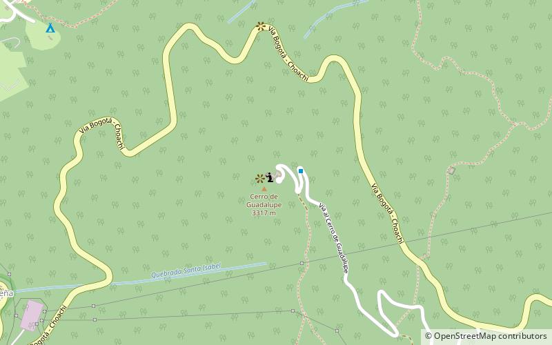
Map

Facts and practical information
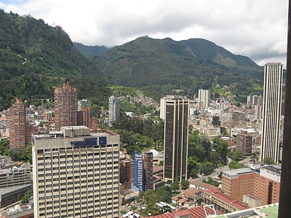
The Guadalupe Group is a geological group of the Altiplano Cundiboyacense, Eastern Ranges of the Colombian Andes. The group, a sequence of shales and sandstones, is subdivided into three formations; Arenisca Dura, Plaeners and Arenisca Labor-Tierna, and dates to the Late Cretaceous period; Campanian-Maastrichtian epochs and at its type section has a thickness of 750 metres. ()
Coordinates: 4°35'31"N, 74°3'15"W
Address
Bogotá
ContactAdd
Social media
Add
Day trips
Guadalupe Group – popular in the area (distance from the attraction)
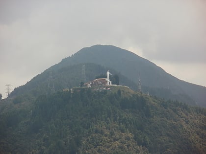
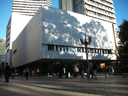
Nearby attractions include: Gold Museum, Monserrate, Guadalupe Hill, Monserrate Sanctuary.
Frequently Asked Questions (FAQ)
Which popular attractions are close to Guadalupe Group?
Nearby attractions include Guadalupe Hill, Bogotá (2 min walk), University of America, Bogotá (22 min walk), Laches, Bogotá (24 min walk), Monserrate Sanctuary, Bogotá (24 min walk).
How to get to Guadalupe Group by public transport?
The nearest stations to Guadalupe Group:
Bus
Bus
- Universidades (32 min walk)
- Las Nieves • Lines: 314 Germ (36 min walk)
