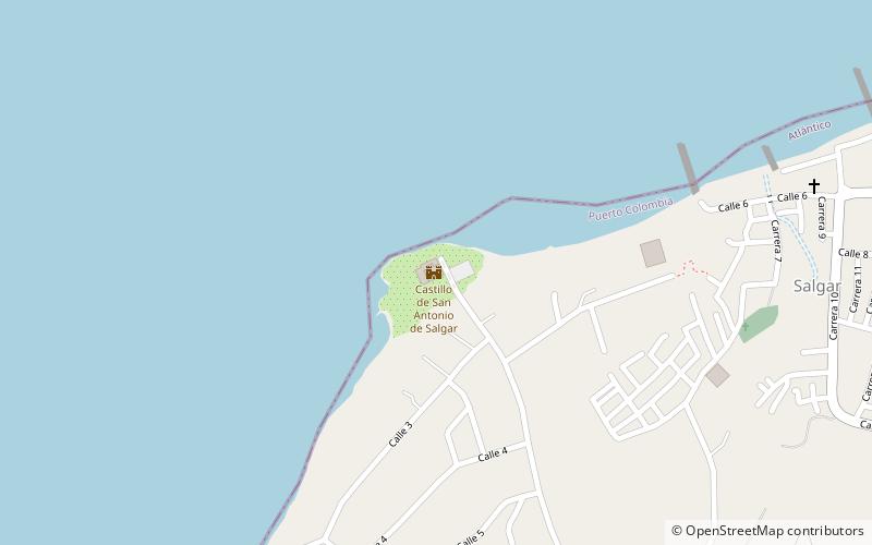
Castle Salgar, Barranquilla

Gallery (1)
Map
Map
Facts and practical information
Castle Salgar is a place located in Barranquilla (Atlántico department) and belongs to the category of sightseeing.
It is situated at an altitude of 49 feet, and its geographical coordinates are 11°1'6"N latitude and 74°56'30"W longitude.
Among other places and attractions worth visiting in the area are: Puerto Colombia (town, 42 min walk), Barranquilla Colombia Temple (temple, 137 min walk).
Coordinates: 11°1'6"N, 74°56'30"W
Address
Barranquilla
ContactAdd
Social media
Add
Day trips

