Pacho
Map
Gallery

Facts and practical information
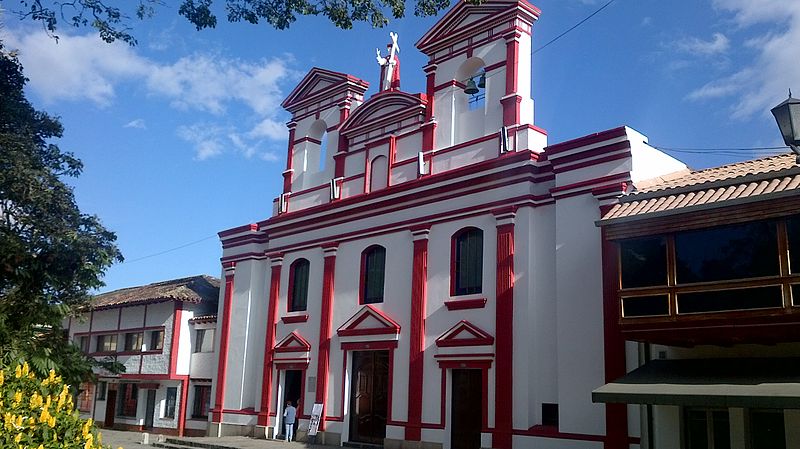
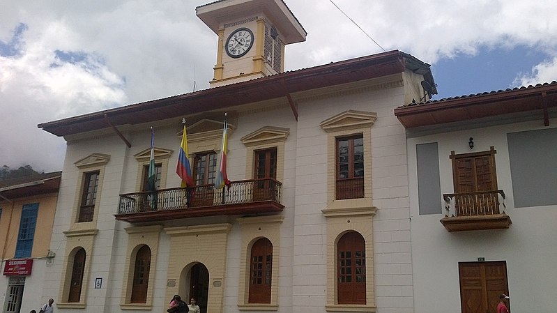
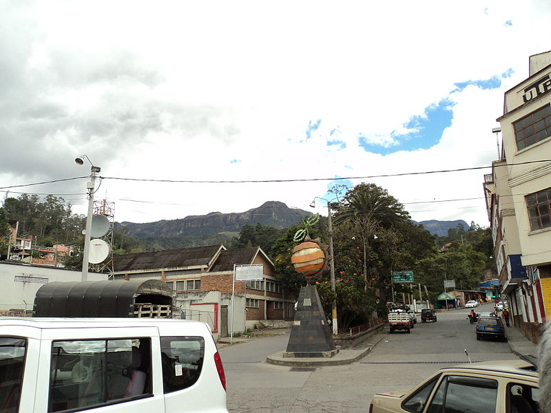
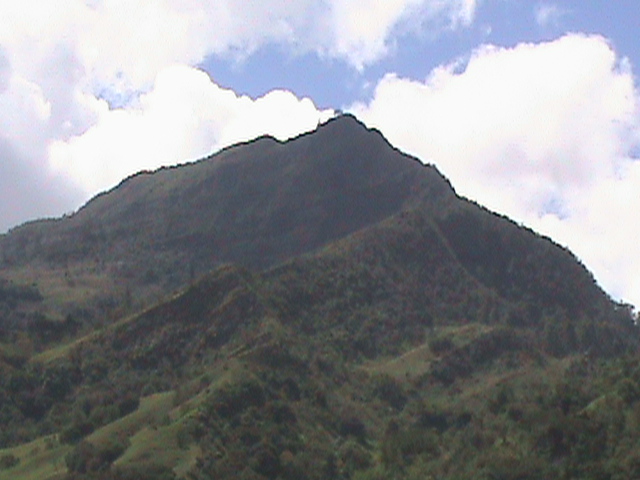
Pacho is a municipality and town of Colombia in the department of Cundinamarca. Pacho is part of the Rionegro Province and the urban centre is situated at a distance of 88 kilometres from the capital Bogotá at an altitude of 2,136 metres, while the altitude ranges from 1,000 metres to 3,700 metres. The municipality borders San Cayetano, Villagómez and Topaipí in the north, Supatá and Subachoque in the south, Vergara and El Peñón in the west and in the east Zipaquirá, Tausa and Cogua. ()
Location
Cundinamarca
ContactAdd
Social media
Add


