Topaga
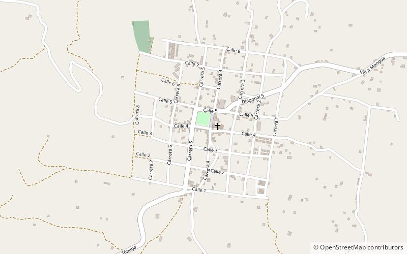
Map

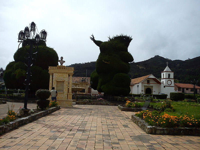
Gallery

Facts and practical information
Tópaga is a town and municipality in the Sugamuxi Province, part of the Colombian department of Boyacá. Tópaga is situated on the Altiplano Cundiboyacense with the urban center at an altitude of 2,900 metres while the topography varies over the municipality from 2,400 metres to 3,200 metres. It borders Nobsa and Corrales in the west, in the east Mongua and Gámeza, in the north Gámeza and in the south Monguí and Sogamoso. Department capital Tunja is 98 kilometres away. Chicamocha River flows through Tópaga. ()
Location
Boyacá
ContactAdd
Social media
Add
Day trips
Topaga – popular in the area (distance from the attraction)
Nearby attractions include: Monguí.

