Mangle Island, Rosario and San Bernardo Corals National Natural Park

Map
Facts and practical information
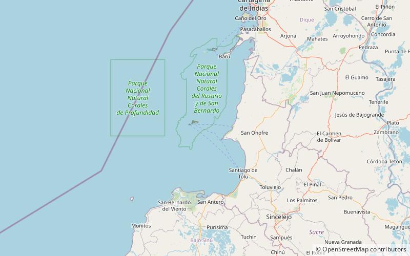
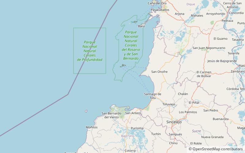
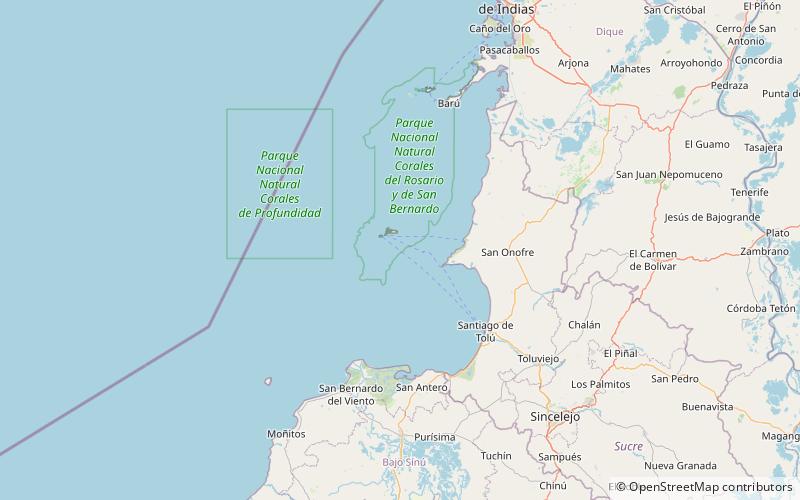
Mangle Island is a coral island located in the Archipelago of San Bernardo, Gulf of Morrosquillo, Caribbean Sea. It is governed by Colombia, and is a part of the Colombian Bolívar Department. ()
Coordinates: 9°45'50"N, 75°47'18"W
Address
Rosario and San Bernardo Corals National Natural Park
ContactAdd
Social media
Add
Day trips
Mangle Island – popular in the area (distance from the attraction)
Nearby attractions include: Ceycén Island, Panda Island, Palma Island, Santa Cruz del Islote.


