Rafael Uribe Uribe, Bogotá
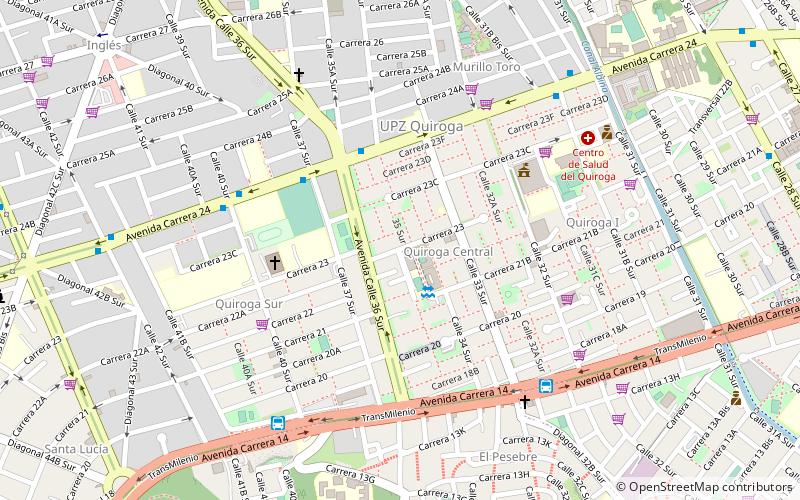
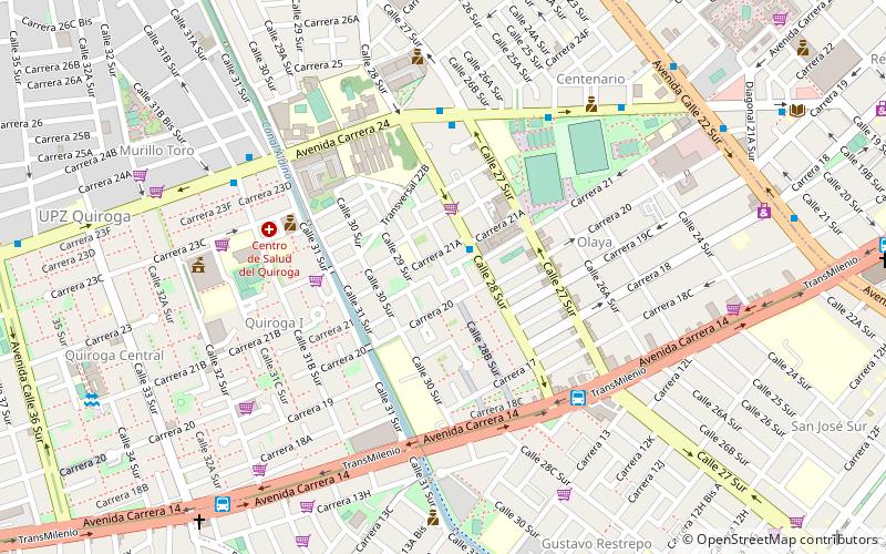
Map
Facts and practical information
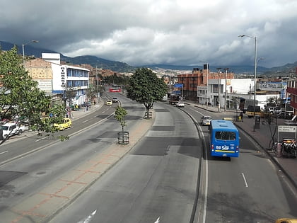
Rafael Uribe Uribe is the 18th locality of the Capital District in the Colombian capital Bogotá. This district is mostly inhabited by working and lower class residents. It was named after the Liberal General Rafael Uribe Uribe. Historically, it has been a predominantly residential area with minor commercial activity. Since the 1940s, urban expansion began from the flat Bogotá savanna towards higher elevations. Nowadays, the locality's southern part is undergoing urban expansion. ()
Address
Rafael Uribe (Quiroga)Bogotá
ContactAdd
Social media
Add
Day trips
Rafael Uribe Uribe – popular in the area (distance from the attraction)
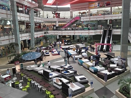
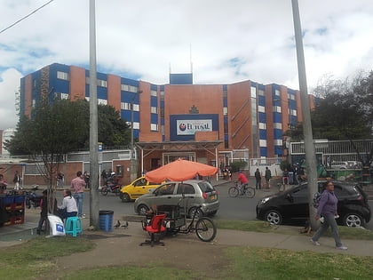
Nearby attractions include: Centro Mayor, NQS Calle 38 A Sur, Biblioteca, Ciudad Tunal.
Frequently Asked Questions (FAQ)
Which popular attractions are close to Rafael Uribe Uribe?
Nearby attractions include Antonio Nariño, Bogotá (11 min walk), Quiroga, Bogotá (14 min walk).
How to get to Rafael Uribe Uribe by public transport?
The nearest stations to Rafael Uribe Uribe:
Bus
Bus
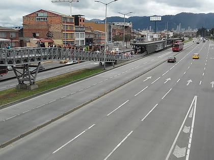
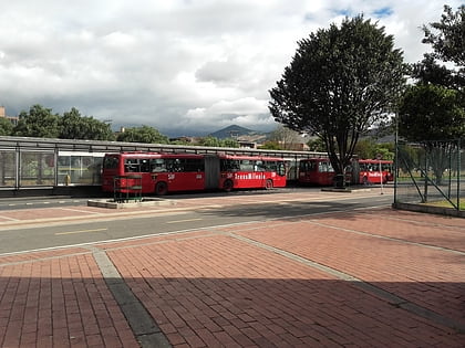
- Quiroga (8 min walk)
- Olaya (18 min walk)
