Ferias, Bogotá
Map
Facts and practical information
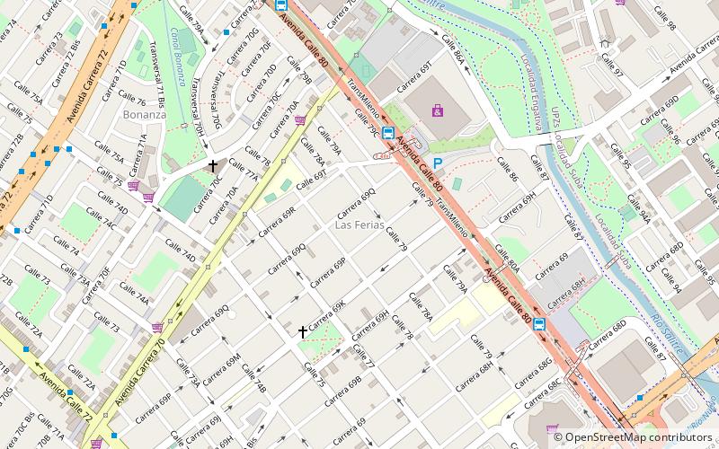
The simple station Ferias is part of the TransMilenio mass-transit system of Bogotá, Colombia, opened in the year 2000. ()
Address
Engativá (Las Ferias)Bogotá
ContactAdd
Social media
Add
Getting there by public transportation
Public transportation stops near this location
- Bus
 Bus
Bus
- Calculate routeFerias 5 min walk
- Calculate routeBoyacá 10 min walk
- Calculate routeLas Ferias 16 min walk
Day trips


Frequently Asked Questions (FAQ)
Which popular attractions are close to Ferias?
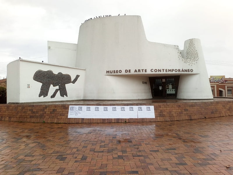
Nearby attractions include Avenida 68, Bogotá (14 min walk), Santa María del Lago, Bogotá (18 min walk), Museum of Contemporary Art of Bogotá, Bogotá (20 min walk), Barrios Unidos, Bogotá (22 min walk).
How to get to Ferias by public transport?
The nearest stations to Ferias:
Bus
Bus
- Ferias (5 min walk)
- Boyacá (10 min walk)