Calle 100, Bogotá

Gallery (1)
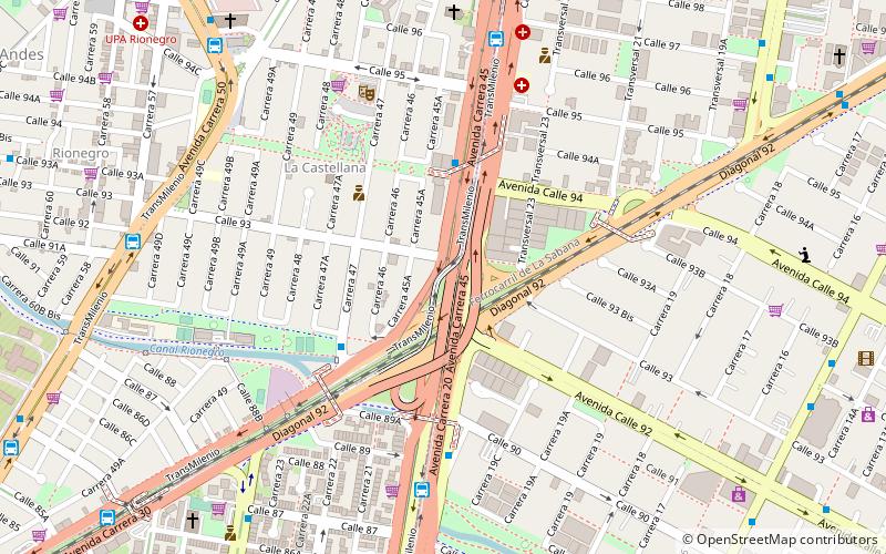
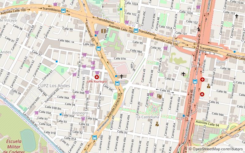
Map
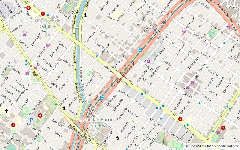
Map
Facts and practical information
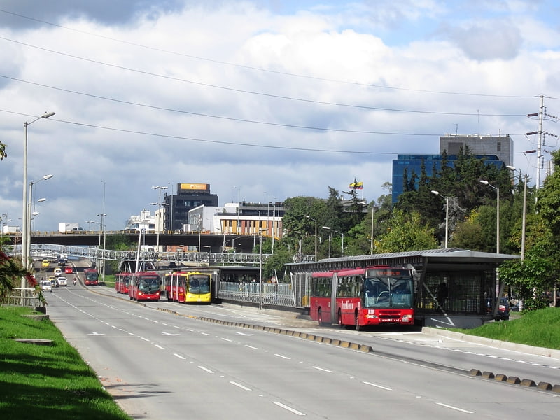
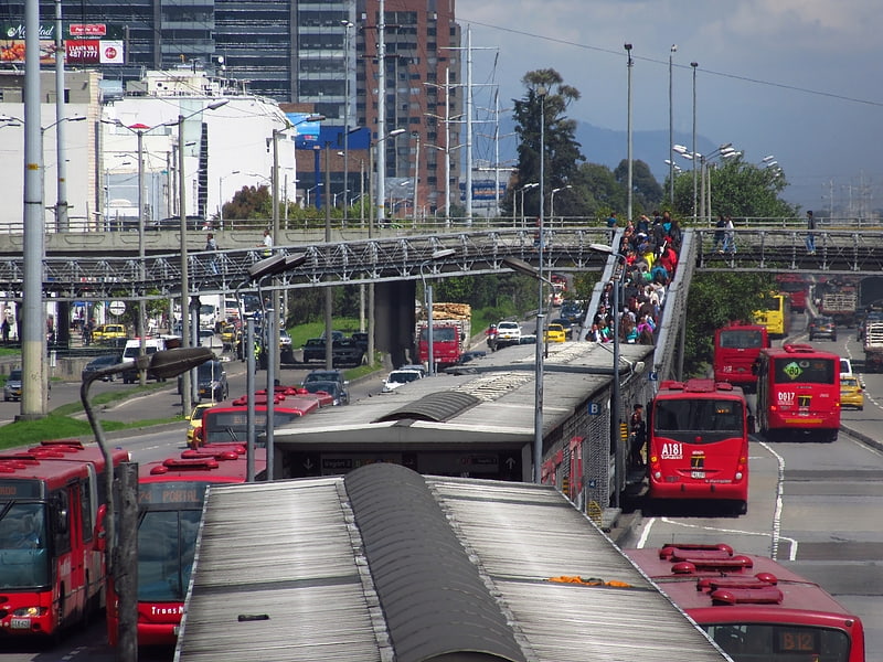
The simple-station Calle 100 is part of the TransMilenio mass-transit system of Bogotá, Colombia, which opened in the year 2000. ()
Address
Barrios Unidos (Los Andes)Bogotá
ContactAdd
Social media
Add
Getting there by public transportation
Public transportation stops near this location
- Bus
 Bus
Bus
- Calculate routeVirrey 8 min walk
- Calculate routeRionegro 11 min walk
- Calculate routeCalle 85 12 min walk
- Calculate routeSuba - Calle 95 12 min walk
Day trips


Frequently Asked Questions (FAQ)
Which popular attractions are close to Calle 100?
Nearby attractions include Virrey, Bogotá (2 min walk), El Lugar de Su Presencia, Bogotá (12 min walk), Escuela Militar, Bogotá (19 min walk), 93 Park, Bogotá (19 min walk).
How to get to Calle 100 by public transport?
The nearest stations to Calle 100:
Bus
Bus
- Virrey (8 min walk)
- Rionegro (11 min walk)