Suba Avenida Boyacá, Bogotá

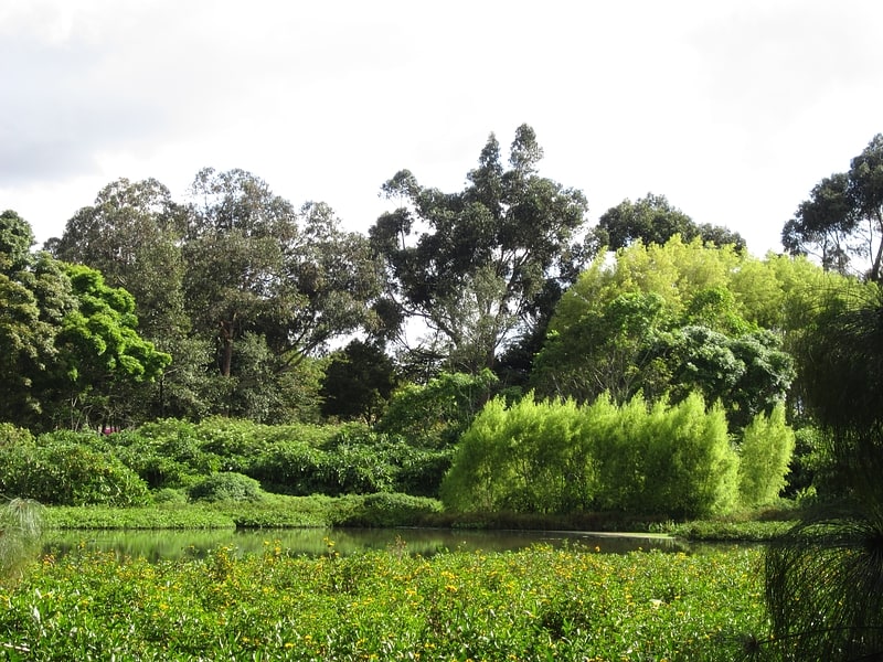
Gallery (1)
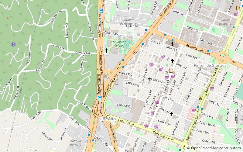
Map
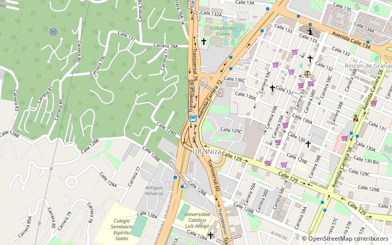
Map
Facts and practical information
The simple station Suba-Avenida Boyacá is part of the TransMilenio mass-transit system of Bogotá, Colombia, which opened in 2000. ()
Address
Suba (Niza)Bogotá
ContactAdd
Social media
Add
Getting there by public transportation
Public transportation stops near this location
- Bus
 Bus
Bus
- Calculate routeSuba - Av. Boyacá 1 min walk
- Calculate routeBr. Ciudad Jardín Norte 6 min walk
- Calculate routeBr. Iberia 11 min walk
- Calculate routeGratamira 12 min walk
Day trips


Frequently Asked Questions (FAQ)
How to get to Suba Avenida Boyacá by public transport?
The nearest stations to Suba Avenida Boyacá:
Bus
Bus
- Suba - Av. Boyacá (1 min walk)
- Br. Ciudad Jardín Norte • Lines: 314 V. Cindy (6 min walk)