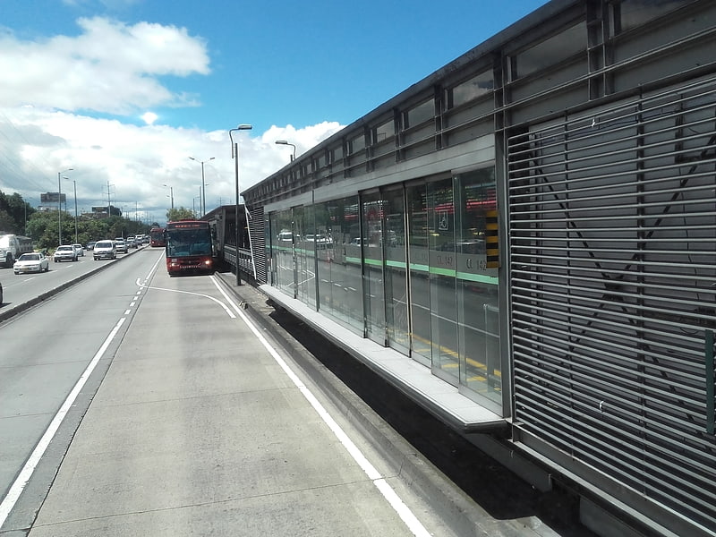
Calle 142, Bogotá
Gallery (1)
Map
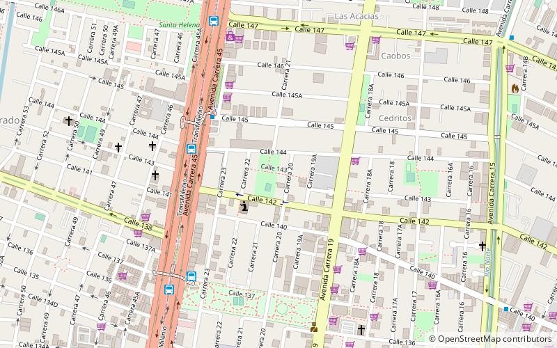
Map
Facts and practical information
The simple station Calle 142 is part of the TransMilenio mass-transit system of Bogotá, Colombia, which opened in 2000. ()
Address
Usaquén (Los Cedros)Bogotá
ContactAdd
Social media
Add
Getting there by public transportation
Public transportation stops near this location
- Bus
 Bus
Bus
- Calculate routeEstación Alcalá 8 min walk
Day trips


Frequently Asked Questions (FAQ)
How to get to Calle 142 by public transport?
The nearest stations to Calle 142:
Bus
Bus
- Estación Alcalá (8 min walk)