Pumarejo bridge, Barranquilla
Map
Map

Facts and practical information
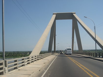
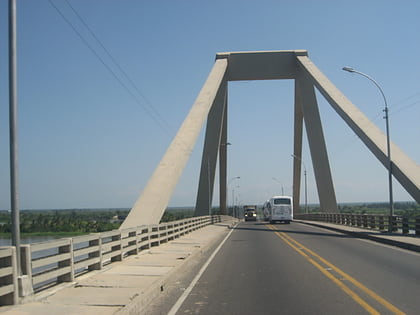
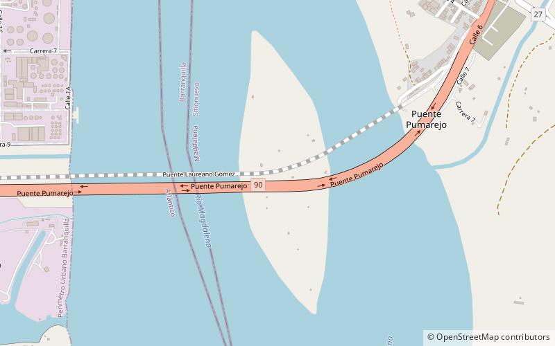
The Pumarejo bridge is a bridge over the Río Magdalena in Barranquilla and the Salamanca Island Road Park in Sitionuevo, Colombia, which has connected the city with the east of the country since December 20th 2019. ()
Local name: Puente Pumarejo Opened: 20 December 2019Length: 2.01 miWidth: 125 ftCoordinates: 10°57'3"N, 74°45'9"W
Address
Barranquilla
ContactAdd
Social media
Add
Day trips
Pumarejo bridge – popular in the area (distance from the attraction)
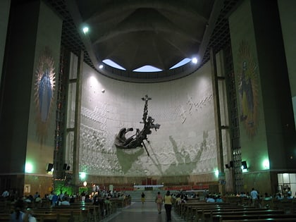
Nearby attractions include: Estadio Metropolitano Roberto Meléndez, CC Viva Barranquilla, Laureano Gómez bridge, Queen Mary Cathedral.
Frequently Asked Questions (FAQ)
How to get to Pumarejo bridge by public transport?
The nearest stations to Pumarejo bridge:
Bus
Bus
- Sotranspa Ltda (22 min walk)
- Nevada - Cootransco Ltda. (29 min walk)
