Tava'enga, Mangaia
Map
Facts and practical information
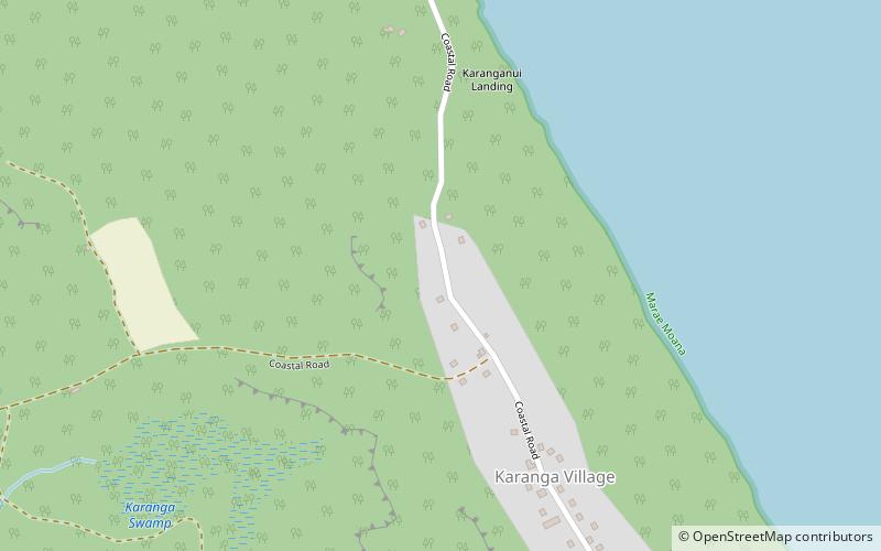
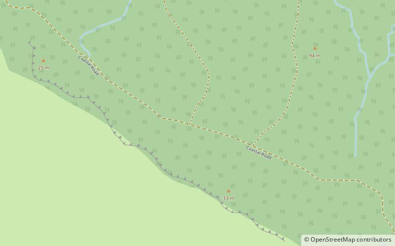
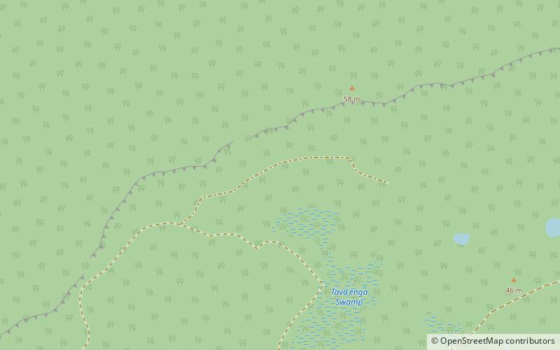
Tava'enga is one of the six traditional districts of the island of Mangaia in the Cook Islands. It is located in the north of the island, to the west of the District of Karanga and east of the District of Kei'a. The district was traditionally divided into 6 tapere: ()
Coordinates: 21°54'25"S, 157°55'52"W
AddressAdd
ContactAdd
Social media
Add
Day trips
Tava'enga – popular in the area (distance from the attraction)
Nearby attractions include: To'uri Cave, Lake Tiriara, Tamarua, Ivirua.
