Miravalles Volcano, Miravalles Protected Zone

Gallery (1)
Map
Map
Facts and practical information
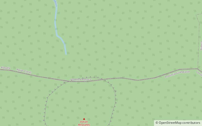
The Miravalles Volcano is an andesitic stratovolcano in Costa Rica. The caldera was formed during several major explosive eruptions that produced voluminous dacitic-rhyolitic pyroclastic flows between about 1.5 and 0.6 million years ago. The only reported historical eruptive activity was a small steam explosion on the SW flank in 1946. High heat flow remains, and Miravalles is the site of the largest developed geothermal field in Costa Rica. ()
Local name: Volcán Miravalles Last eruption: 1946Elevation: 6654 ftCoordinates: 10°44'54"N, 85°9'10"W
Address
Miravalles Protected Zone
Contact
+506 2673 0918
Social media
Add
Day trips
Miravalles Volcano – popular in the area (distance from the attraction)
Nearby attractions include: Cordillera de Guanacaste.
