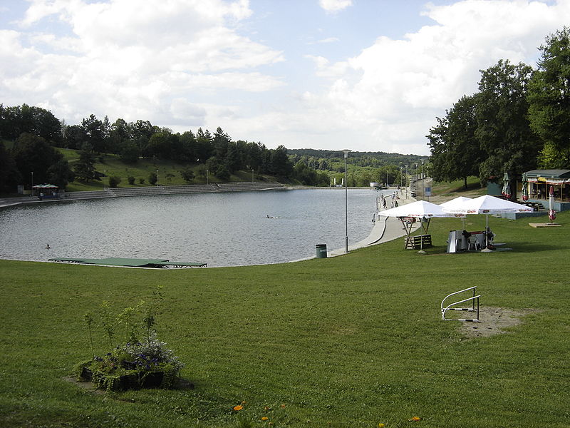
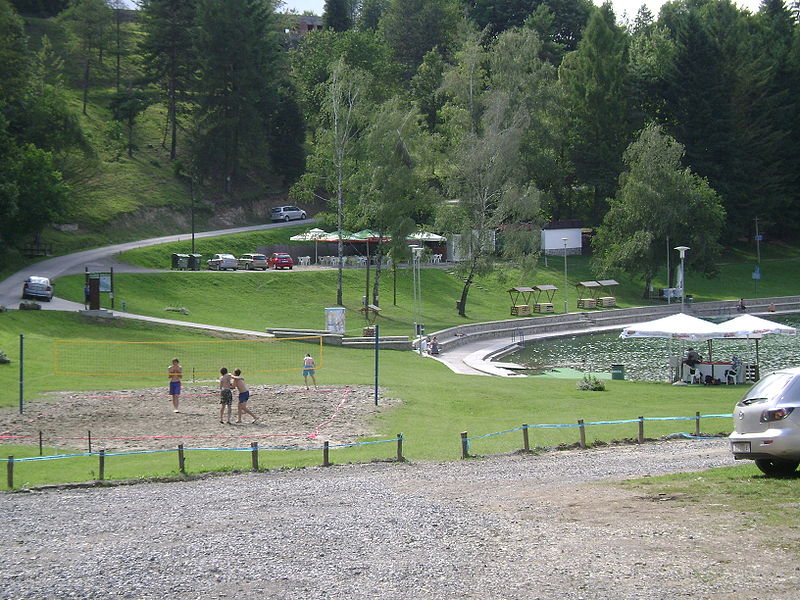
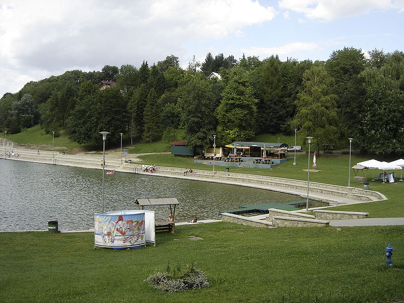
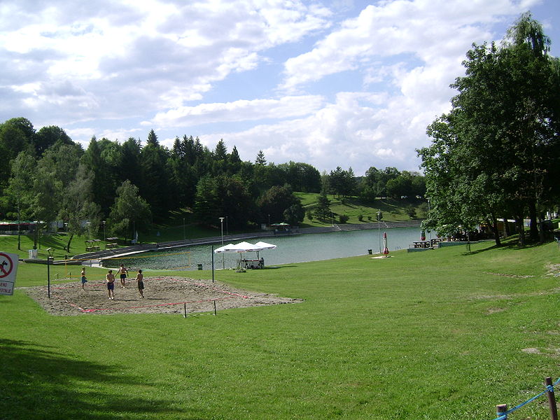
Orahovačko jezero

Gallery (5)
Map

Map

Gallery
Facts and practical information
Orahovačko jezero is a place located in Croatia and belongs to the category of natural attraction, lake.
It is situated at an altitude of 745 feet, and its geographical coordinates are 45°31'2"N latitude and 17°51'34"E longitude.
Among other places and attractions worth visiting in the area are: Ružica grad (forts and castles, 11 min walk), Orahovica (town, 36 min walk), Kutjevo Abbey (monastery, 123 min walk).
Elevation: 745 ft a.s.l.Coordinates: 45°31'2"N, 17°51'34"E
Day trips