Sveta Klara, Zagreb
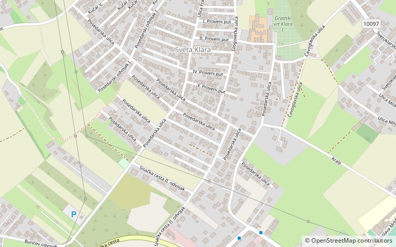
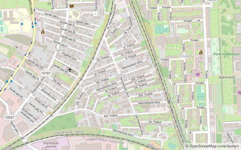
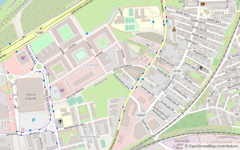
Map
Facts and practical information
Sveta Klara is a settlement in the southern part of Zagreb, Croatia. Once a separate village, it is now administered as a neighbourhood of the city district of Novi Zagreb – zapad. The population is 9,560. ()
Coordinates: 45°45'30"N, 15°57'40"E
Address
Novi Zagreb - Zapad (Sveta Klara)Zagreb
ContactAdd
Social media
Add
Getting there by public transportation
Public transportation stops near this location
- Bus
- Train
 Bus
Bus
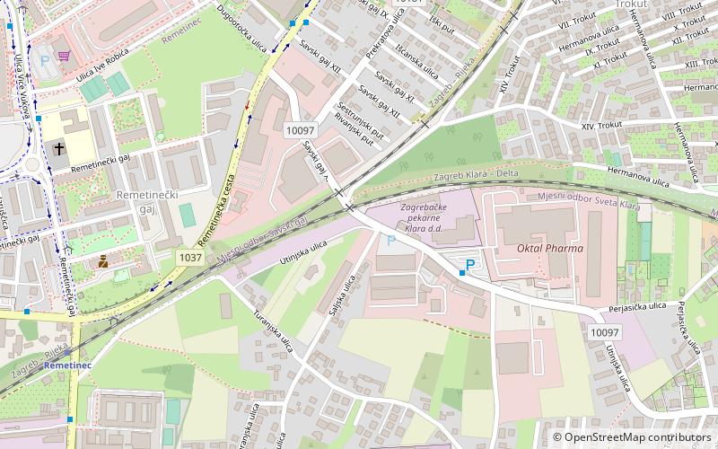
- Calculate routeMrkšina raskrižje 7 min walk
- Calculate routeSisačka, nadvožnjak sjever 8 min walk
- Calculate routeČavoglavska 11 min walk
- Calculate routeRemetinec 24 min walk
- Calculate routeZagreb Klara 26 min walk
Day trips


Frequently Asked Questions (FAQ)
How to get to Sveta Klara by public transport?
The nearest stations to Sveta Klara:
Bus
Train
Bus
- Mrkšina raskrižje • Lines: 133 (7 min walk)
- Sisačka, nadvožnjak sjever • Lines: 133, 315 (8 min walk)
Train
- Remetinec (24 min walk)
- Zagreb Klara (26 min walk)