Trokut, Zagreb
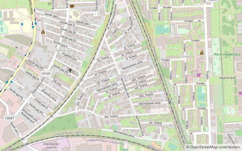
Map
Facts and practical information
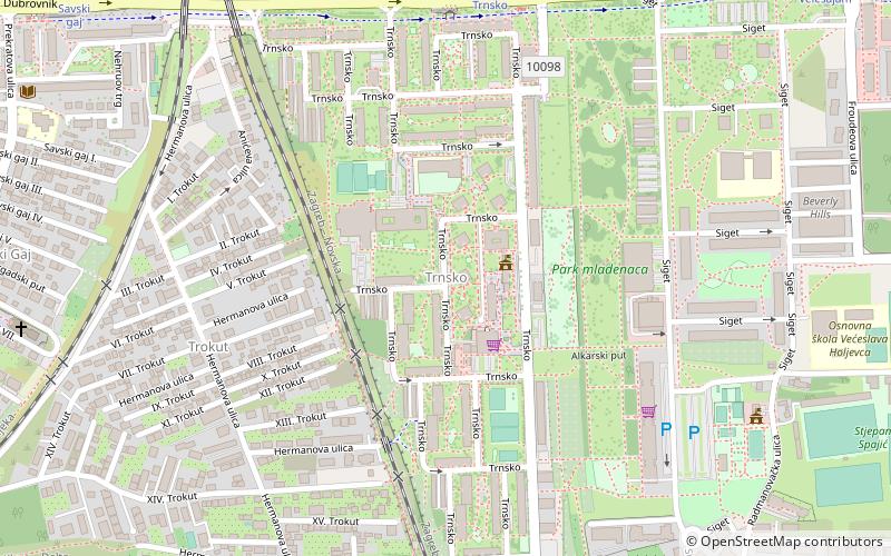
Trokut is a quarter in Novi Zagreb - zapad. It is surrounded by five other quarters: Kajzerica, Remetinec, Sveta Klara, Trnsko and Savski gaj. The quarter's name comes from the word triangle, because of the intersection of three railroads, which has an isosceles triangle shape. Trokut is located in the middle of the intersection. It is administratively part of Savski gaj. ()
Coordinates: 45°46'20"N, 15°57'34"E
Address
Novi Zagreb - Zapad (Savski Gaj)Zagreb
ContactAdd
Social media
Add
Day trips
Trokut – popular in the area (distance from the attraction)
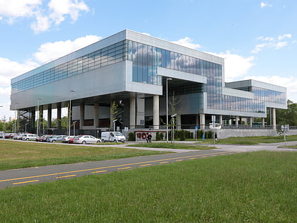
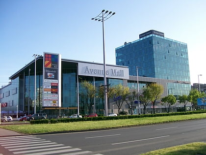
Nearby attractions include: Museum of Contemporary Art, Arena centar, Avenue Mall, Adriatic Bridge.
Frequently Asked Questions (FAQ)
Which popular attractions are close to Trokut?
Nearby attractions include Savski gaj, Zagreb (6 min walk), Trnsko, Zagreb (6 min walk), Novi Zagreb – zapad, Zagreb (11 min walk), Remetinec, Zagreb (12 min walk).
How to get to Trokut by public transport?
The nearest stations to Trokut:
Bus
Tram
Train
Bus
- Remetinečka, osnovna škola • Lines: 110, 111, 132, 133, 159, 160, 161, 162, 163, 164, 168, 222, 234, 315 (9 min walk)
- Savski gaj • Lines: 109, 222, 234 (10 min walk)
Tram
- Savski gaj • Lines: 14, 31, 7 (10 min walk)
- Trnsko • Lines: 14, 31, 7 (11 min walk)
Train
- Remetinec (20 min walk)
- Zagreb Klara (40 min walk)
