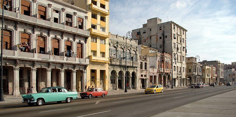
Malecón, Havana
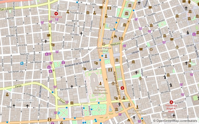
Map
Gallery
Facts and practical information
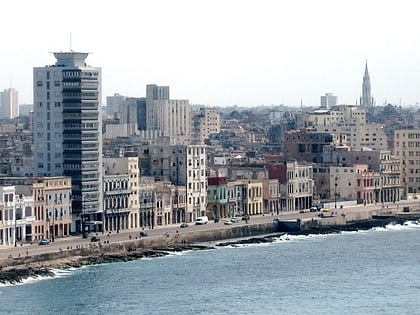
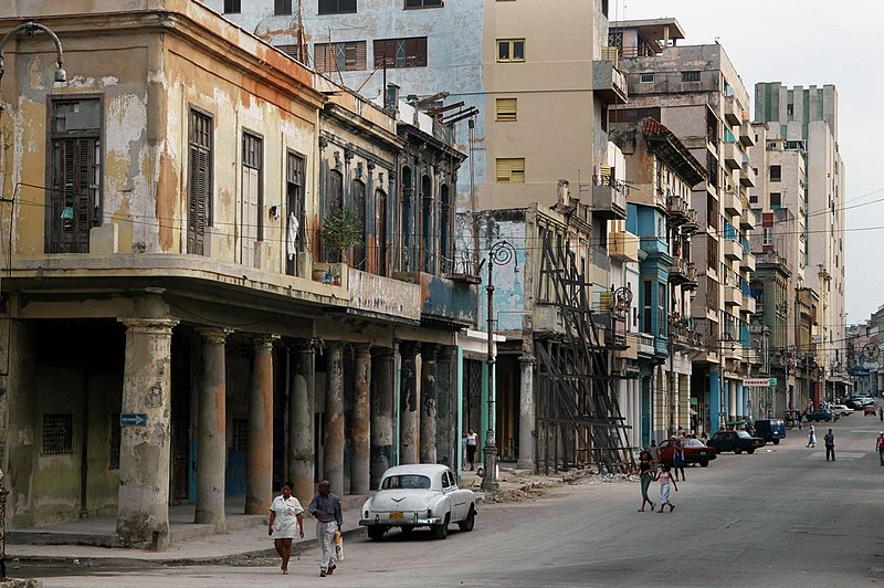
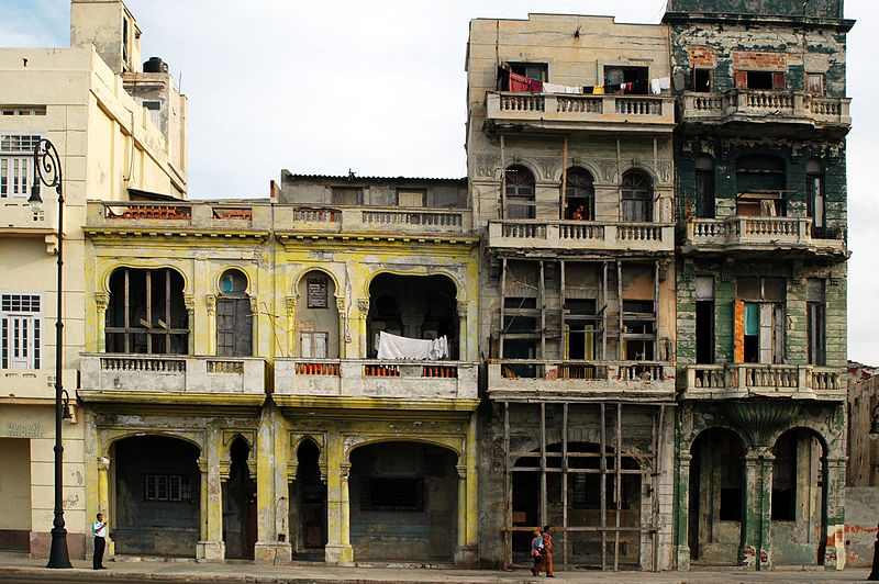
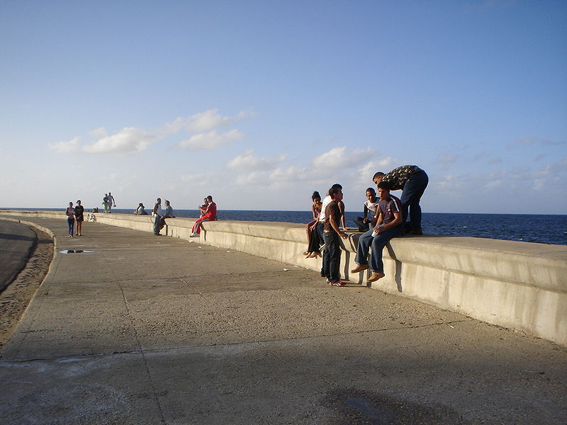
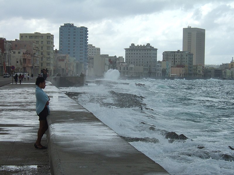
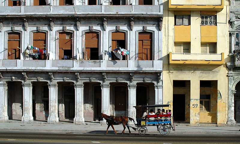
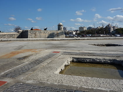
The Malecón is a broad esplanade, roadway, and seawall that stretches for 8 km along the coast in Havana, Cuba, from the mouth of Havana Harbor in Old Havana, along the north side of the Centro Habana neighborhood and the Vedado neighborhood, ending at the mouth of the Almendares River. New businesses are appearing on the esplanade due to economic reforms in Cuba that now allow Cubans to own private businesses. ()
Address
Centro HabanaHavana
ContactAdd
Social media
Add
Day trips
Malecón – popular in the area (distance from the attraction)
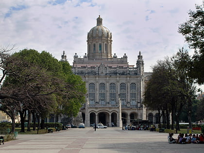
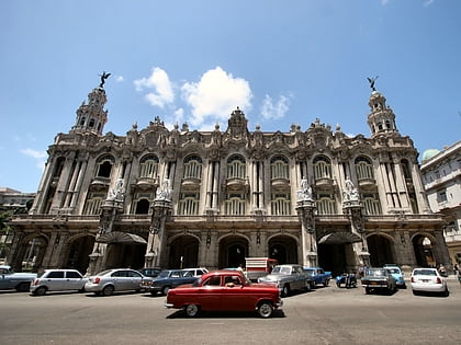
Nearby attractions include: Museum of the Revolution, Gran Teatro de La Habana, Havana Plan Piloto, Castillo San Salvador de la Punta.
Frequently Asked Questions (FAQ)
Which popular attractions are close to Malecón?
Nearby attractions include Barrio de San Lázaro, Havana (6 min walk), Hospital de San Lázaro, Havana (12 min walk), Callejón de Hámel, Havana (13 min walk), Gran Teatro de La Habana, Havana (17 min walk).
How to get to Malecón by public transport?
The nearest stations to Malecón:
Bus
Train
Bus
- Hotel Deauville • Lines: T1 (7 min walk)
- Barrio Chino • Lines: 15, 54, A27, A68 (15 min walk)
Train
- Central Railway Station (31 min walk)
- Terminal La Coubre (35 min walk)
