Guanahacabibes Peninsula Travel Guide
Facts and practical information
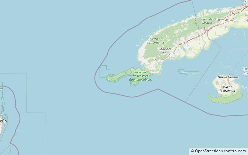
Located in the westernmost part of Cuba, the Guanahacabibes Peninsula in the Pinar del Río region is a hidden gem for travelers seeking an off-the-beaten-path adventure. This remote and pristine peninsula offers a unique blend of natural beauty, rich biodiversity, and fascinating cultural heritage.
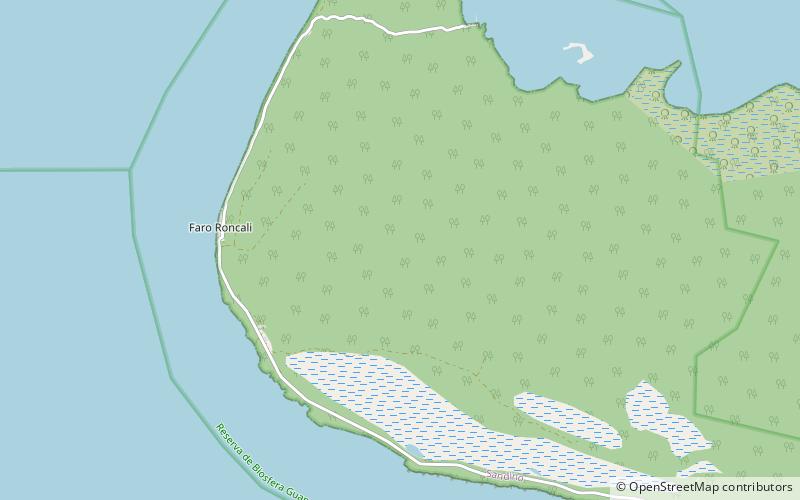
Nature enthusiasts will be in awe of the Guanahacabibes Peninsula's stunning landscapes. The peninsula is home to the Guanahacabibes National Park, a UNESCO Biosphere Reserve that covers over 200,000 hectares of land and sea. Here, visitors can explore the untouched beaches, crystal-clear waters, and lush mangrove forests. Snorkeling and diving enthusiasts will be delighted by the vibrant coral reefs teeming with colorful marine life.
For those interested in wildlife, the Guanahacabibes Peninsula is a haven for rare and endangered species. The peninsula is one of the few places in Cuba where you can spot the elusive Cuban crocodile and the Cuban hutia, a unique mammal found only in this region. Birdwatchers will also be thrilled by the variety of bird species that inhabit the area, including the Cuban parakeet and the Cuban black hawk.
In addition to its natural wonders, the Guanahacabibes Peninsula offers a glimpse into Cuba's rich cultural heritage. The peninsula is home to the Guanahacabibes Museum, which showcases the indigenous history and traditions of the region. Visitors can learn about the ancient Taino people who once inhabited these lands and explore archaeological sites that date back thousands of years.
For those seeking adventure, the Guanahacabibes Peninsula offers a range of outdoor activities. From hiking through the dense forests to horseback riding along the scenic trails, there is something for everyone. Fishing enthusiasts can also try their luck in the abundant waters of the peninsula, known for its diverse marine species.
Pinar del Río
Guanahacabibes Peninsula Attractions - What to See and Explore
Guanahacabibes Peninsula offers many attractions and places to visit. Here are the most important ones: Cape San Antonio. Below you will find a complete list of places worth visiting.
Best Time To Visit Guanahacabibes Peninsula
Learn when is the best time to travel to Guanahacabibes Peninsula weather-wise and what to expect in each season.