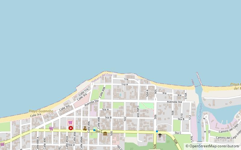
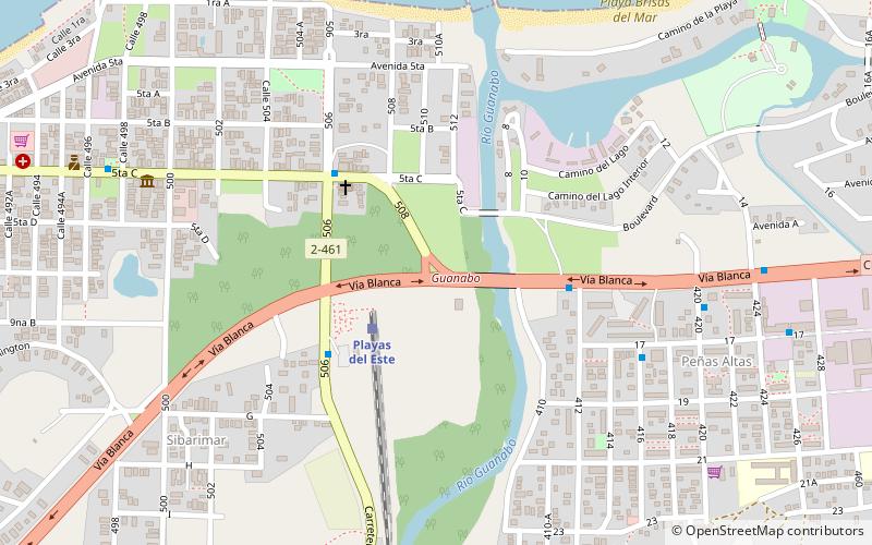
Playa Guanabo, Havana
Map
Facts and practical information
Playa Guanabo is a place located in Havana (Ciudad de la Habana province) and belongs to the category of beach.
It is situated at an altitude of 0 feet, and its geographical coordinates are 23°10'17"N latitude and 82°8'52"W longitude.
Planning a visit to this place, one can easily and conveniently get there by public transportation. Playa Guanabo is a short distance from the following public transport stations: Rotanda Guanabo (bus, 4 min walk).
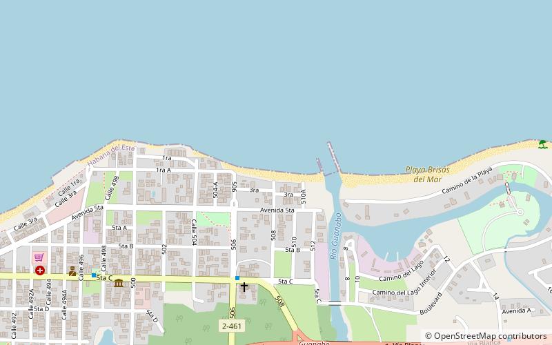
Among other places and attractions worth visiting in the area are: Guanabo (town, 17 min walk), Tarara playa (beach, 33 min walk), Mar azul (beach, 39 min walk).
Coordinates: 23°10'17"N, 82°8'52"W
Address
Havana
ContactAdd
Social media
Add
Getting there by public transportation
Public transportation stops near this location
- Bus
 Bus
Bus
- Calculate routeRotanda Guanabo 4 min walk
- Calculate routeLa Barca 12 min walk
- Calculate routeParque Guanabo 13 min walk
- Calculate routeA42-A64-C3-C7 16 min walk
Day trips


Frequently Asked Questions (FAQ)
How to get to Playa Guanabo by public transport?
The nearest stations to Playa Guanabo:
Bus
Bus
- Rotanda Guanabo • Lines: A40 (4 min walk)
- La Barca • Lines: A40 (12 min walk)