Barrio de San Lázaro, Havana
Map
Facts and practical information
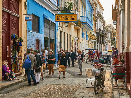
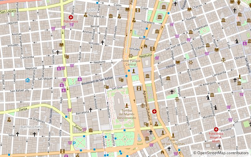
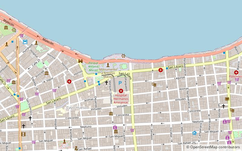
Barrio de San Lázaro is one of the first neighbourhoods in Havana, Cuba. It initially occupied the area bounded by Calle Infanta to the west, Calle Zanja to the south, Calle Belascoáin to the east, and the Gulf of Mexico to the north, forming the western edge of Centro Habana. According to the 1855 Ordenanzas Municipales of the city of Havana, Barrio San Lázaro was the Tercer Distrito and was Barrio No. 8. ()
Coordinates: 23°8'26"N, 82°22'16"W
Address
Centro HabanaHavana
ContactAdd
Social media
Add
Day trips
Barrio de San Lázaro – popular in the area (distance from the attraction)
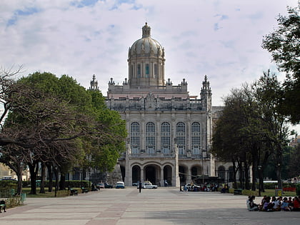
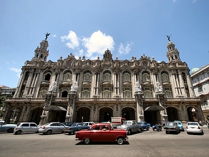
Nearby attractions include: Museum of the Revolution, Gran Teatro de La Habana, Havana Plan Piloto, Museo Nacional de Bellas Artes.
Frequently Asked Questions (FAQ)
Which popular attractions are close to Barrio de San Lázaro?
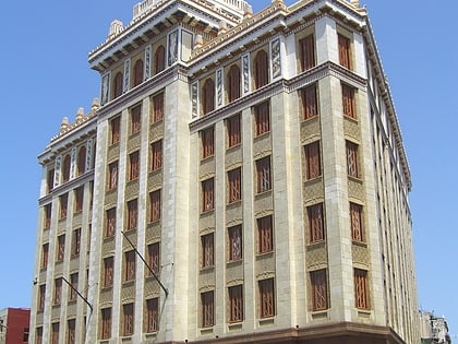
Nearby attractions include Malecón, Havana (6 min walk), Hospital de San Lázaro, Havana (7 min walk), Callejón de Hámel, Havana (8 min walk), Edificio del Seguro Médico, Havana (17 min walk).
How to get to Barrio de San Lázaro by public transport?
The nearest stations to Barrio de San Lázaro:
Bus
Train
Bus
- Piquera Empresa de Servicios a la Aviación Civil SERVAC (12 min walk)
- Hotel Deauville • Lines: T1 (13 min walk)
Train
- Central Railway Station (33 min walk)
- Terminal La Coubre (37 min walk)
