Evretou Dam
Map

Map

Facts and practical information
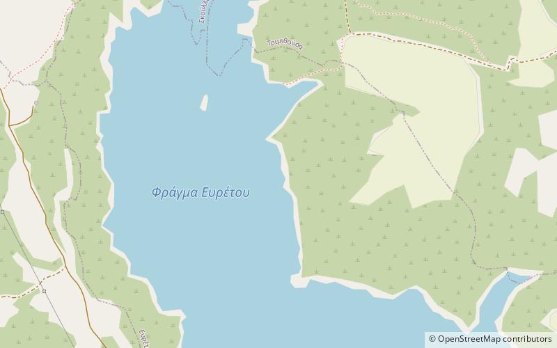
Evretou Dam is the third largest dam in Cyprus and also the largest rock-fill dam on the island. It lies at an altitude of 165 m and is located about 15 km south of Polis Chrysochou, next to the abandoned village of Evretou. It is part of the Chrysochou Irrigation Project, the construction of which cost a total of CYP £21,000,000. ()
Alternative names: Opened: 1986 (40 years ago)Area: 0.48 mi²Length: 853 ftHeight: 230 ftCoordinates: 34°58'3"N, 32°28'21"E
Location
Paphos
ContactAdd
Social media
Add
Day trips
Evretou Dam – popular in the area (distance from the attraction)
Nearby attractions include: Marion, Dhrousha, Miliou, Kato Akourdhalia.


