Nicosia Municipality, Nicosia

Gallery (3)
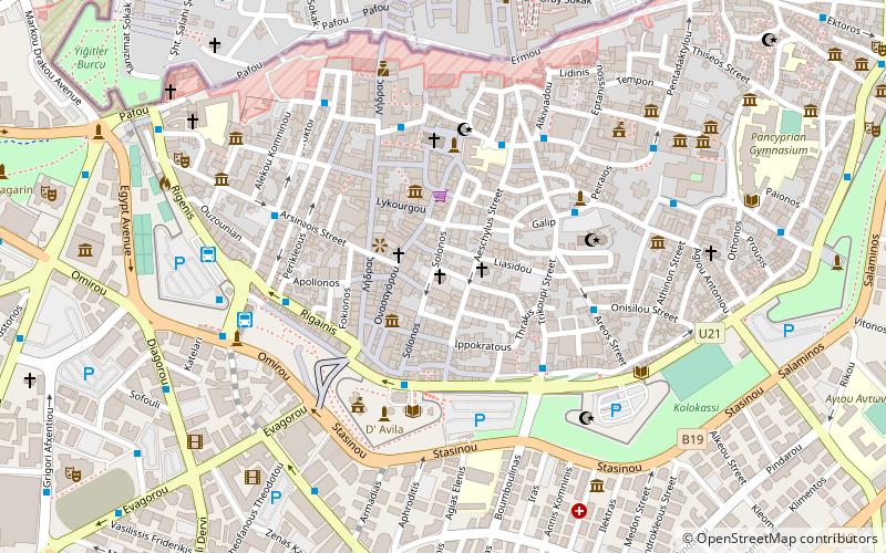
Map


Map
Gallery
Facts and practical information
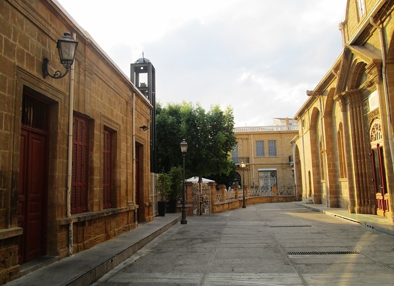
Nicosia Municipality is the municipal government which is responsible for all the municipal duties of the southern part of Nicosia. ()
Area: 19.55 mi²Coordinates: 35°10'10"N, 33°21'39"E
Address
Nicosia
ContactAdd
Social media
Add
Getting there by public transportation
Public transportation stops near this location
- Bus
 Bus
Bus
- Calculate routeCity Hall - Post Office - Library 2 min walk
- Calculate routeRigainis 4 min walk
- Calculate routeNicosia 4 min walk
- Calculate routeSolomou Square 4 min walk
Day trips
Nicosia Municipality – popular in the area (distance from the attraction)
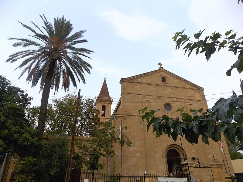
Nearby attractions include: Archbishop's Palace, Faneromeni Square, Hadjigeorgakis Kornesios Mansion, Nicosia municipal gardens.


Frequently Asked Questions (FAQ)
Which popular attractions are close to Nicosia Municipality?
Nearby attractions include Eleftheria square, Nicosia (2 min walk), Tower 25, Nicosia (2 min walk), Cyprus Library, Nicosia (3 min walk), Leventis Municipal Museum of Nicosia, Nicosia (3 min walk).
How to get to Nicosia Municipality by public transport?
The nearest stations to Nicosia Municipality:
Bus
Bus
- City Hall - Post Office - Library • Lines: L1 (2 min walk)
- Rigainis • Lines: L1 (4 min walk)