Troja Bridge, Prague
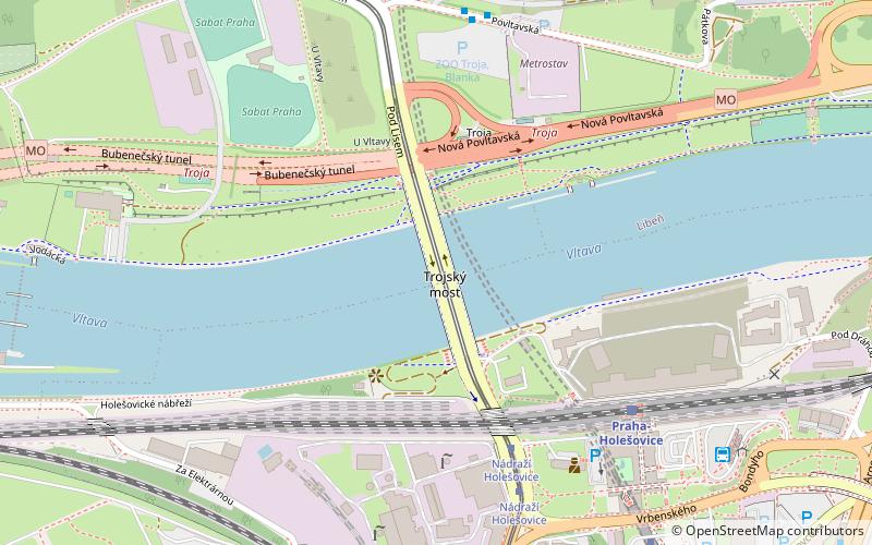
Map
Map

Facts and practical information
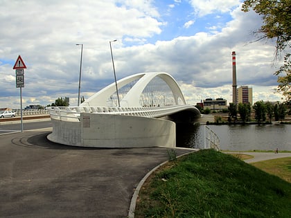
The Troja Bridge is a bowstring arch bridge in Prague that crosses the Vltava river. It opened to traffic in October 2014. The bridge is 262 metres long. It was designed by Mott MacDonald and Koucky Architects, and was constructed by Metrostav. It connects the districts of Troja and Holešovice. The bridge is noted for slender arch and low height-to-span ratio. ()
Address
Praha 7 (Praha-Troja)Prague
ContactAdd
Social media
Add
Day trips
Troja Bridge – popular in the area (distance from the attraction)
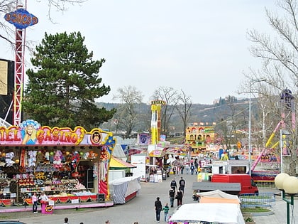
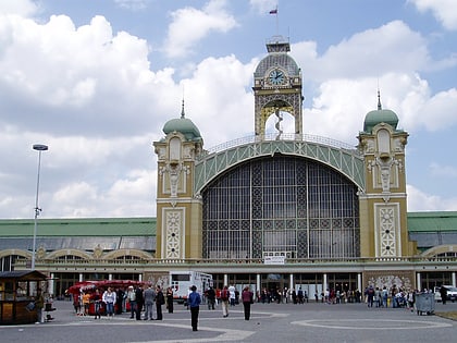
Nearby attractions include: Troja Palace, Cross Club, National Technical Museum, Amusement park at Prague Fairground.
Frequently Asked Questions (FAQ)
Which popular attractions are close to Troja Bridge?
Nearby attractions include Křížíkova fontána, Prague (12 min walk), Mořský svět, Prague (13 min walk), Lapidarium, Prague (14 min walk), Maroldovo panorama, Prague (14 min walk).
How to get to Troja Bridge by public transport?
The nearest stations to Troja Bridge:
Tram
Bus
Train
Metro
Ferry
Tram
- Nádraží Holešovice • Lines: 12, 17, 6, 93, 94 (10 min walk)
- Trojská • Lines: 17, 93 (9 min walk)
Bus
- Nádraží Holešovice • Lines: 112, 156, 201 (9 min walk)
- Povltavská • Lines: 112 (7 min walk)
Train
- Praha-Holešovice (6 min walk)
- Praha-Holešovice zastávka (12 min walk)
Metro
- Nádraží Holešovice • Lines: C (8 min walk)
- Vltavská • Lines: C (22 min walk)
Ferry
- Pražská tržnice • Lines: P7 (28 min walk)
- Ostrov Štvanice • Lines: P7 (31 min walk)
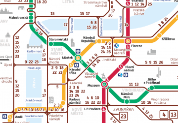 Metro / Trams


