Okraj, Krkonoše National Park
Map

Map

Facts and practical information
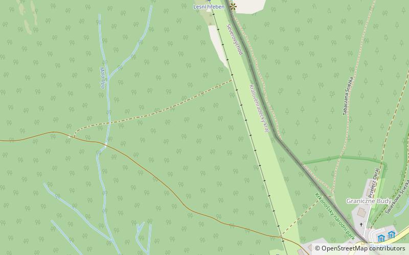
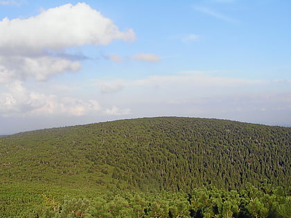
Okraj is a mountain pass in Poland and the Czech Republic, on the eastern end of Karkonosze, separating two side ranges of the mountains. Former checkpoint, dismounted in 2007 after the implementation of the Schengen Agreement. ()
Maximum elevation: 3432 ftCoordinates: 50°45'0"N, 15°49'0"E
Address
Krkonoše National Park
ContactAdd
Social media
Add
Day trips
Okraj – popular in the area (distance from the attraction)
Nearby attractions include: Polish–Czech Friendship Trail, Czarna Kopa, Sudetes, Pec pod Sněžkou.
Frequently Asked Questions (FAQ)
How to get to Okraj by public transport?
The nearest stations to Okraj:
Bus
Bus
- Malá Úpa, Pomezní Boudy • Lines: 1 (11 min walk)


