Holešovice, Prague
Map
Map

Facts and practical information
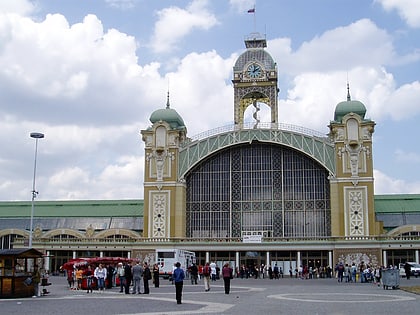
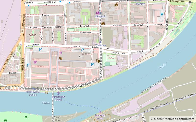
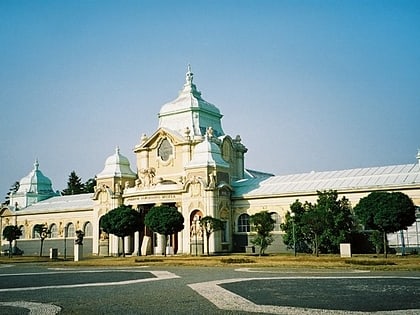
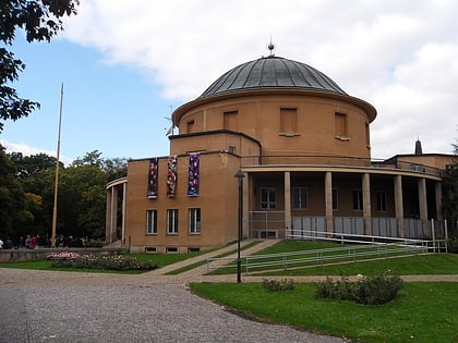
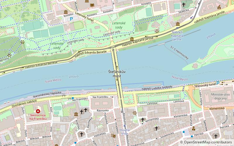
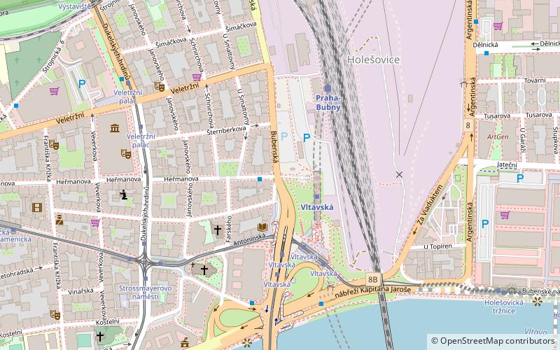
Holešovice is a district in the north of Prague situated on a meander of the River Vltava, which makes up the main part of the district Prague 7. In the past it was a heavily industrial suburb; today it is home to the main site of the Prague's National Gallery in Veletržní palác, National Technical Museum, and a convention centre, Výstaviště Praha. On the Strossmayer Square lies neo-Gothic Church of St. Anthony of Padua. ()
Address
Praha 7 (Praha Sedm 7)Prague
ContactAdd
Social media
Add
Day trips
Holešovice – popular in the area (distance from the attraction)
Nearby attractions include: Cross Club, National Technical Museum, Negrelli Viaduct, Bílá labuť.
Frequently Asked Questions (FAQ)
Which popular attractions are close to Holešovice?
Nearby attractions include Prague 7, Prague (3 min walk), svatý Antonín Paduánský, Prague (5 min walk), Trade Fair Palace, Prague (6 min walk), Štvanice, Prague (9 min walk).
How to get to Holešovice by public transport?
The nearest stations to Holešovice:
Bus
Metro
Tram
Train
Ferry
Bus
- Řezáčovo náměstí • Lines: 156 (1 min walk)
- Vltavská • Lines: 156, 905, 911 (4 min walk)
Metro
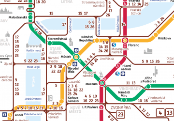
- Vltavská • Lines: C (2 min walk)
- Nádraží Holešovice • Lines: C (16 min walk)
Tram
- Vltavská • Lines: 1, 12, 14, 25 (4 min walk)
- Strossmayerovo náměstí • Lines: 1, 12, 17, 25, 26, 41, 6, 8, 91, 93, 94, 96 (6 min walk)
Train
- Praha-Bubny (4 min walk)
- Praha-Holešovice zastávka (10 min walk)
Ferry
- Pražská tržnice • Lines: P7 (12 min walk)
- Ostrov Štvanice • Lines: P7 (14 min walk)

 Metro / Trams


