Předboj
#773 among destinations in Czech Republic
![Předboj location map](https://tzmedia.b-cdn.net/media/images/static-maps/cz/50_2255_14_4758.jpg)
Facts and practical information
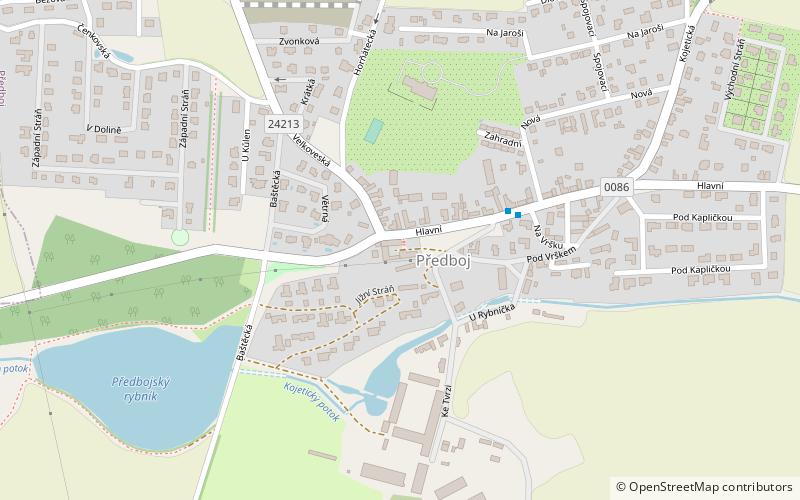
Předboj is a municipality and village in Prague-East District in the Central Bohemian Region of the Czech Republic. It has about 1,200 inhabitants. ()
Předboj plan & book
Unleash the traveler in you — discover the cheapest flight deals, find the perfect hotel or hostel nearby, and search for the best car rental prices. Travel at your own pace to discover new places and enjoy your journey.
Předboj – popular in the area (distance from the attraction)
Nearby attractions include: Levý Hradec, Roztoky, Klecany, Lobkovice.
5.9 miSWArchaeological site, Historical placeLevý Hradec, Prague
152 min walk • Levý Hradec is an early medieval Bohemian gord situated 3 km northwest of Prague borders near Roztoky, in the Czech Republic. This fortified settlement served as the original seat of Bořivoj I, the first known Přemyslid ruler. It was built on a promontory on the left bank of the Vltava River approximately in mid-9th century.
5.8 miSWTown, AreaRoztoky, Prague
148 min walk • Roztoky is a town in Prague-West District in the Central Bohemian Region of the Czech Republic. It has about 8,800 inhabitants. Roztoky is located north of Prague on the Vltava River.
4.4 miSWTown, AreaKlecany, Prague
114 min walk • Klecany is a town in Prague-East District in the Central Bohemian Region of the Czech Republic. It has about 3,700 inhabitants. It is situated on the Vltava river to the north of Prague.
3.4 miNEForts and castlesLobkovice
87 min walk • Lobkovice Castle is halfway between Prague and Melnik Central Bohemian Region of the Czech Republic. Lobkovice is among the oldest of Czech villages, and was mentioned by Václav Hájek from Libočany in the times of Saint Wenceslaus and Saint Adalbert of Prague.
3.5 miWCemeteryPostřižín - židovský hřbitov/ jewish cemetery
90 min walk • The Jewish cemetery in Odolena Voda is located about 1 km southeast of the village of Postřižín on the edge of a wooded hill in the cadastre of Odolena Voda. The D8 motorway runs near its northern side.
6.5 miNETownVšetaty
166 min walk • Všetaty is a market town in Mělník District in the Central Bohemian Region of the Czech Republic. It has about 2,300 inhabitants.
5.6 miSENeighbourhoodMiškovice, Prague
144 min walk • Miškovice is a cadastral area in Prague, Czech Republic.
7.5 miSWNightlife, Brewery, RestaurantÚnětický pivovar, Prague
193 min walk • The Únětice brewery is a small private brewery located in the Prague-West district.
5.6 miSNeighbourhoodĎáblice, Prague
142 min walk • Ďáblice is a municipal district and cadastral area in Prague. It is located in the northern part of the city. As of 2008, there were 3,048 inhabitants living in Ďáblice. The first written record of Ďáblice is from the 13th century. The village became part of Prague in 1968.
5.7 miSNeighbourhoodDolní Chabry, Prague
145 min walk • Dolní Chabry is a suburb of Prague in the Czech Republic. There are eight Menhirs located within this suburb, as well as a 12th-century Romanesque church.
4.9 miSENeighbourhoodTřeboradice, Prague
126 min walk • Třeboradice is a catastal district in the municipal part Čakovice in the administrative district Prague 18 in Prague, Czech Republic, with a population of c. 700 people.