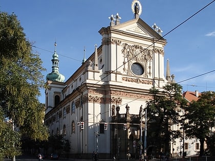
Gorlice, Prague
Map
Map

Facts and practical information
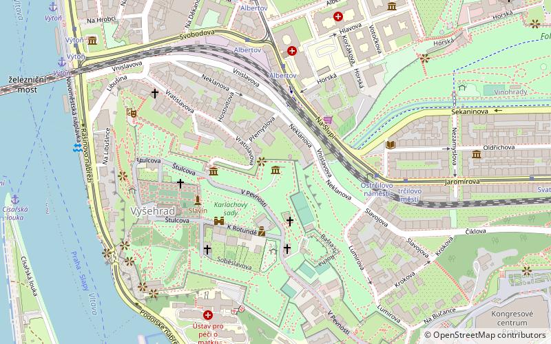
Gorlice is an underground hall in the casemates inside the walls of Prague's Vyšehrad. It is located in the northeastern, 33rd bastion, east of the Brick Gate. The hall is vaulted with a 13 m high vault and has an area of about 330 m². It was originally used as a troop assembly hall and a storehouse for supplies and ammunition. The Gorlice was opened to the public after reconstruction in the 1990s. The space is used for exhibitions and theatre performances.
Coordinates: 50°3'55"N, 14°25'16"E
Day trips
Gorlice – popular in the area (distance from the attraction)
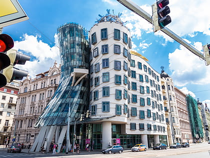
Nearby attractions include: Vyšehrad, Basilica of St. Peter and St. Paul, Karel IV., Dancing House.
Frequently Asked Questions (FAQ)
Which popular attractions are close to Gorlice?
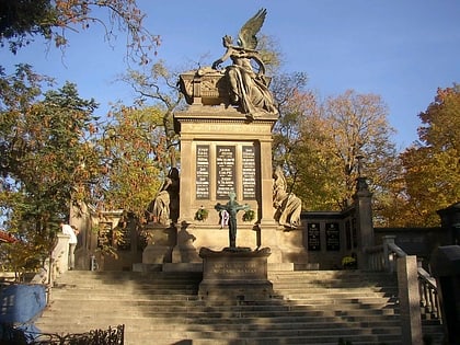
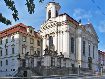
Nearby attractions include Slavín, Prague (3 min walk), Basilica of St. Peter and St. Paul, Prague (5 min walk), Vyšehrad cemetery, Prague (5 min walk), Vyšehrad, Prague (5 min walk).
How to get to Gorlice by public transport?
The nearest stations to Gorlice:
Tram
Ferry
Metro
Bus
Train
Tram
- Albertov • Lines: 14, 18, 24, 7, 93, 95 (6 min walk)
- Ostrčilovo náměstí • Lines: 14, 18, 24, 7, 93, 95 (5 min walk)
Ferry
- Výtoň (9 min walk)
- Císařská louka • Lines: P5 (10 min walk)
Metro
- Vyšehrad • Lines: C (12 min walk)
- Smíchovské nádraží • Lines: B (16 min walk)
Bus
- Podolská vodárna • Lines: 134 (12 min walk)
- Apolinářská • Lines: 148 (13 min walk)
Train
- Praha-Smíchov (17 min walk)
- Praha-Smíchov severní nástupiště (17 min walk)

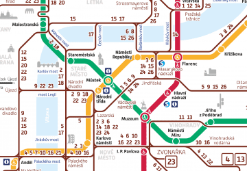 Metro / Trams

