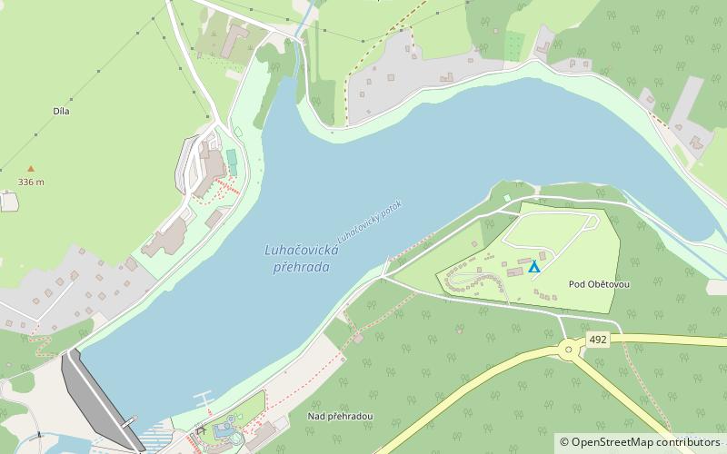
Luhačovická přehrada, Luhačovice
Map

Map

Facts and practical information
Luhačovice dam is a valley reservoir on the Št'ovnica river, in the municipality of Pozlovice, about 2 km northeast of Luhačovice. It is operated by Povodí Moravy, s.p. - závod Střední Morava.
Alternative names: Area: 56.28 acres (0.0879 mi²)Elevation: 906 ft a.s.l.Coordinates: 49°7'27"N, 17°46'49"E
Address
Luhačovice
ContactAdd
Social media
Add
Day trips
Luhačovická přehrada – popular in the area (distance from the attraction)
Nearby attractions include: Starý Světlov, Muzeum Luhačovicského Zálesí.


