Zelená brána, Pardubice

Gallery (1)
Map
Map
Facts and practical information
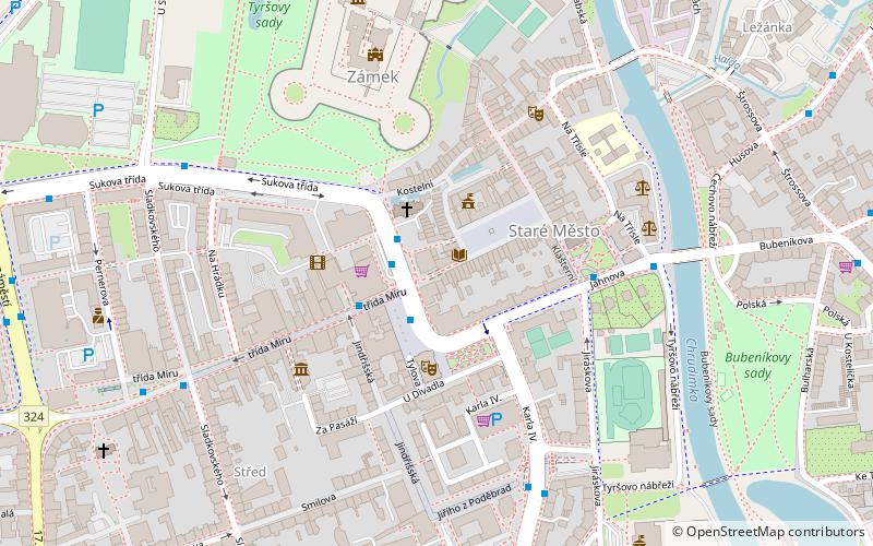
Zelená brána is a place located in Pardubice (Pardubický region) and belongs to the category of historical place.
It is situated at an altitude of 738 feet, and its geographical coordinates are 50°2'17"N latitude and 15°46'40"E longitude.
Among other places and attractions worth visiting in the area are: Východočeské muzeum v Pardubicích (forts and castles, 7 min walk), Letní stadion (football, 11 min walk), Enteria Arena (arenas and stadiums, 11 min walk).
Coordinates: 50°2'17"N, 15°46'40"E
Address
Pardubice
ContactAdd
Social media
Add
Day trips


Frequently Asked Questions (FAQ)
Which popular attractions are close to Zelená brána?
Nearby attractions include Východočeské muzeum v Pardubicích, Pardubice (7 min walk), Enteria Arena, Pardubice (11 min walk), University of Pardubice, Pardubice (21 min walk).