Čerchov
Map

Map

Facts and practical information
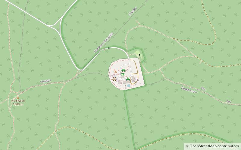
At 1,042 m n.m., the Čerchov is the highest mountain in the Upper Palatine Forest and the northern summit of the Bohemian Forest. It lies ca. 2 km from the German-Czech border, roughly in the middle of a triangle formed by the towns of Waldmünchen, Furth im Wald and Domažlice. ()
Location
Plzeňský
ContactAdd
Social media
Add
Day trips
Čerchov – popular in the area (distance from the attraction)
Nearby attractions include: Upper Palatine Forest.

