Modřany, Prague
Map

Map

Facts and practical information
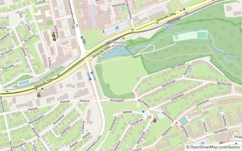
Modřany is a suburb of Prague south of the city centre on the banks of the Vltava. It belongs to the municipal district Prague 12. Before being joined with the capital Prague in year 1974, Modřany was de facto a town. ()
Address
Praha 12Prague
ContactAdd
Social media
Add
Day trips
Modřany – popular in the area (distance from the attraction)
Nearby attractions include: Hodkovičky, Lahovice, Prague 12, Komořany.
Frequently Asked Questions (FAQ)
How to get to Modřany by public transport?
The nearest stations to Modřany:
Bus
Tram
Train
Ferry
Bus
- Písková • Lines: 150, 157, 190, 910 (3 min walk)
- Násirovo náměstí • Lines: 157 (4 min walk)
Tram
- Poliklinika Modřany • Lines: 17, 21, 3, 92 (3 min walk)
- U Libušského potoka • Lines: 17, 21, 3, 92 (7 min walk)
Train
- Praha-Modřany zastávka (19 min walk)
- Praha-Modřany (21 min walk)
Ferry
- Nádraží Modřany • Lines: P6 (20 min walk)
- Lahovičky • Lines: P6 (21 min walk)

 Metro / Trams


