Klášterní, Ostrov
Map
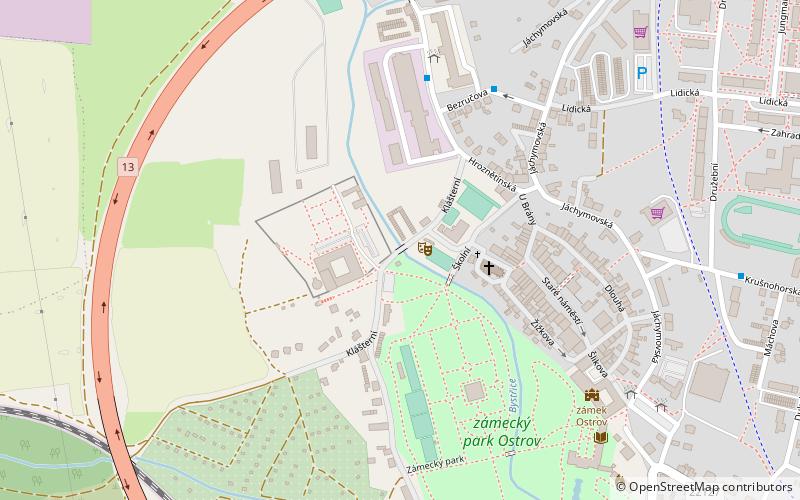
Map

Facts and practical information
Klášterní (address: Klashterni 141) is a place located in Ostrov (Karlovarský region) and belongs to the category of sacred and religious sites, church, bridge.
It is situated at an altitude of 1306 feet, and its geographical coordinates are 50°18'18"N latitude and 12°56'11"E longitude.
Among other places and attractions worth visiting in the area are: zámek Ostrov (forts and castles, 6 min walk), Aquacentrum Agricola, Jáchymov (amusement, 98 min walk), Hauenštejn (forts and castles, 117 min walk).
Coordinates: 50°18'18"N, 12°56'11"E
Day trips
Klášterní – popular in the area (distance from the attraction)
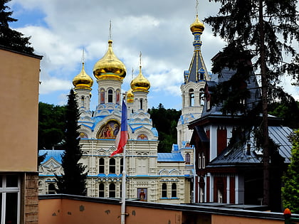
Nearby attractions include: KV Arena, Mill Colonnade, Hauenštejn, Saint Peter and Paul Cathedral.


