Stodůlky, Prague
Map
Gallery
Facts and practical information
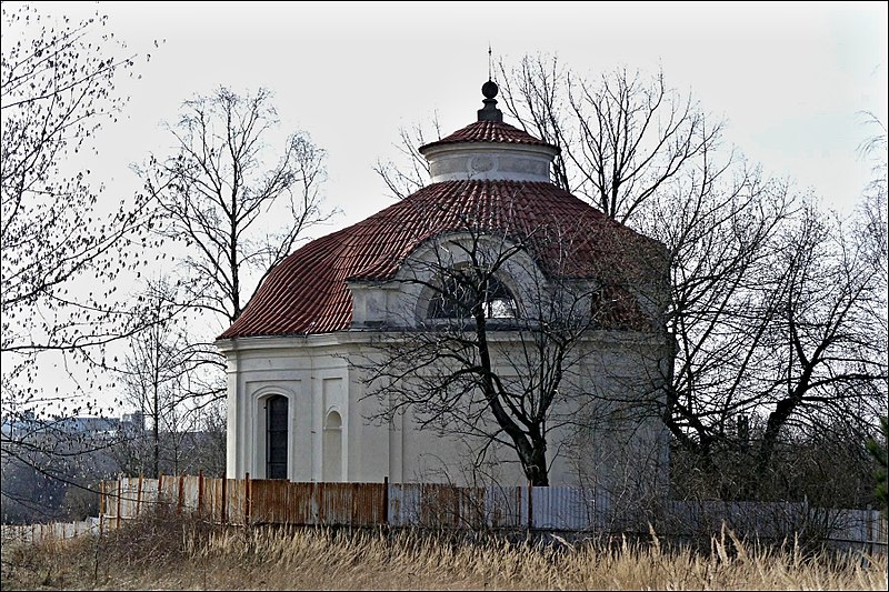
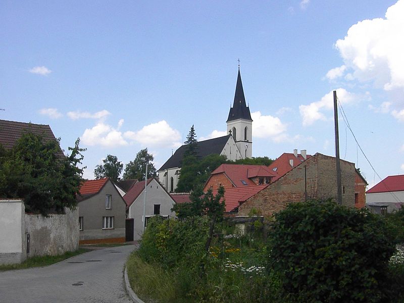
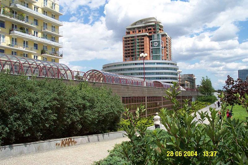
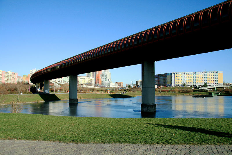
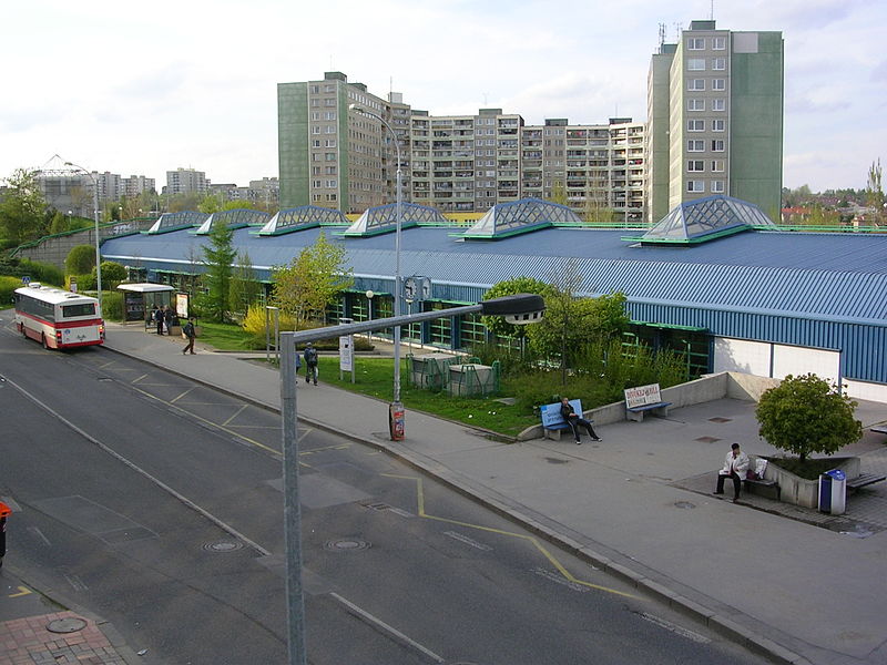
Stodůlky, Czech pronunciation:, is a cadastral area in Prague, Czech Republic. Originally a village, later municipality, it remained a predominantly agricultural settlement until the 1960s. Stodůlky became part of Prague in 1974 and the large housing estate of Jihozápadní Město gradually arose on fields in vicinity of the old village in the late 1970s through mid-1990s. Nowadays Stodůlky covers an area of 9.63 square kilometres and has over 60 thousand inhabitants. Západní Město, a western extension of the built-up area is currently under construction. ()
Address
Praha 13Prague
ContactAdd
Social media
Add
Day trips
Stodůlky – popular in the area (distance from the attraction)
Nearby attractions include: Prague Towers, Prague 13, Jinonice, Motol.
Frequently Asked Questions (FAQ)
Which popular attractions are close to Stodůlky?
Nearby attractions include Prague 13, Prague (11 min walk), Prague Towers, Prague (22 min walk).
How to get to Stodůlky by public transport?
The nearest stations to Stodůlky:
Bus
Metro
Train
Tram
Bus
- Kodymova • Lines: 168 (3 min walk)
- Bucharova • Lines: 137, 149, 174, 902, 904 (5 min walk)
Metro
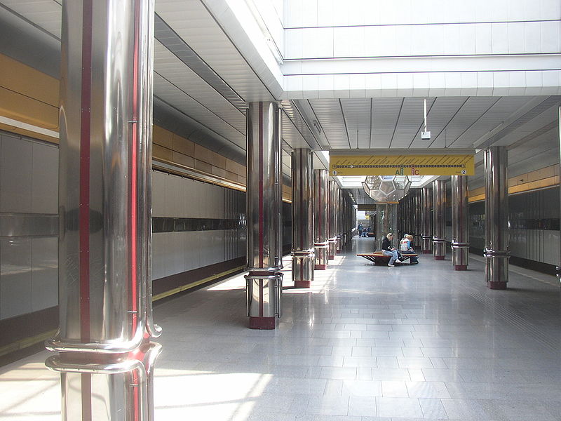
- Hůrka • Lines: B (10 min walk)
- Lužiny • Lines: B (16 min walk)
Train
- Praha-Stodůlky (21 min walk)
- Praha-Cibulka (37 min walk)
Tram
- Krematorium Motol • Lines: 10, 16, 9, 98, 99 (27 min walk)
- Motol • Lines: 10, 16, 9, 98, 99 (27 min walk)



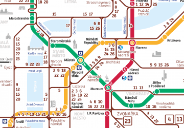 Metro / Trams


