Vratislavice nad Nisou, Liberec
Map
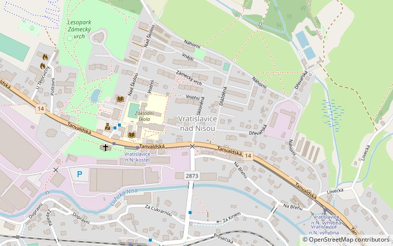
Map

Facts and practical information
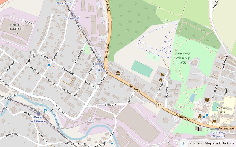
Vratislavice nad Nisou is a district of the city of Liberec, in the north of the Czech Republic. As of 2021, it has about 8,800 inhabitants. and straddles the Nisa river between Liberec and Jablonec, around 3.5 km south-east of Liberec city centre. ()
Address
Liberec
ContactAdd
Social media
Add
Day trips
Vratislavice nad Nisou – popular in the area (distance from the attraction)
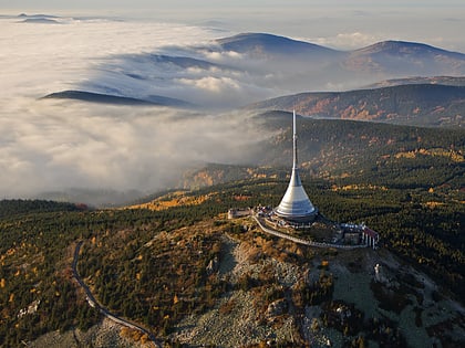
Nearby attractions include: Zoo, City Hall, Rodný dům Ferdinanda Porsche, Ještěd–Kozákov Ridge.
Frequently Asked Questions (FAQ)
How to get to Vratislavice nad Nisou by public transport?
The nearest stations to Vratislavice nad Nisou:
Tram
Bus
Train
Tram
- Vratislavice n.N. kostel • Lines: 11, 5 (4 min walk)
- Lékárna • Lines: 11, 5 (14 min walk)
Bus
- Vratislavice n.N. škola • Lines: 59 (4 min walk)
- U Cukrárny • Lines: 59 (5 min walk)
Train
- Vratislavice nad Nisou (7 min walk)
- Vesec u Liberce (18 min walk)


