Kohoutí kříž, Kašperské Hory

Gallery (1)
Map
Map
Facts and practical information
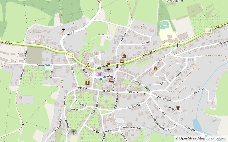
Kohoutí kříž is a place located in Kašperské Hory (Plzeňský region) and belongs to the category of wayside shrine.
It is situated at an altitude of 2434 feet, and its geographical coordinates are 49°8'38"N latitude and 13°33'22"E longitude.
Among other places and attractions worth visiting in the area are: svatá Markéta (church, 1 min walk), Pomník obětem světových válek (memorial, 6 min walk), Grantl (nature, 7 min walk).
Coordinates: 49°8'38"N, 13°33'22"E
Address
Kašperské Hory
ContactAdd
Social media
Add
Day trips
Kohoutí kříž – popular in the area (distance from the attraction)
Nearby attractions include: svatá Markéta, Chapel, Pranýř, Pomník obětem světových válek.


Frequently Asked Questions (FAQ)
Which popular attractions are close to Kohoutí kříž?
Nearby attractions include svatá Markéta, Kašperské Hory (1 min walk), Pomník obětem světových válek, Kašperské Hory (6 min walk), Grantl, Kašperské Hory (7 min walk), Pranýř, Kašperské Hory (10 min walk).