Podhorní vrch


Facts and practical information
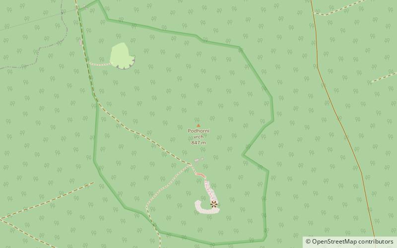
Podhorní vrch is a forested mountain in the Cheb district, located about 4 kilometres northeast of Mariánské Lázně, the highest peak of the Tepelská vrchovina. The altitude of the peak of Velká Podhora is 847 metres above sea level, the second peak is at 829 metres above sea level. The summit rock of the second peak offers a view of the Tepelská vrchovina and the Slavkovský Forest to the north-east, the Smrčiny Mountains to the north-west and the Český les to the south-west. A metal radio communication tower stands in the saddle between the two peaks. The railway line 149 Mariánské Lázně - Karlovy Vary runs at the southern foot. The area is much visited by tourists, especially the view peaks. From Mariánské Lázně a red marked hiking trail leads through the village of Zádub-Závišín to Podhorní vrch.
Podhorní vrch – popular in the area (distance from the attraction)
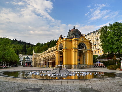
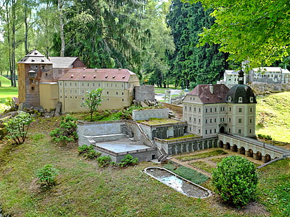
Nearby attractions include: Teplá Abbey, Royal Golf Club Mariánské Lázně, The Singing Fountain, Boheminium Miniature Park.


