Strašnice, Prague
Map

Map

Facts and practical information
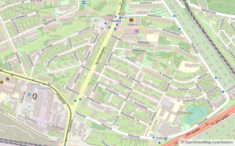
Strašnice is a cadastral district in Prague. It became part of Prague on 1 January 1922. It lies mostly in the municipal and administrative district of Prague 10 while a small part is in Prague 3. The district is bordered by Vršovice, Vinohrady, Žižkov, Malešice, Hostivař, Záběhlice and Michle. ()
Address
Praha 10 (Strašnice)Prague
ContactAdd
Social media
Add
Day trips
Strašnice – popular in the area (distance from the attraction)
Nearby attractions include: Church of the Nativity of the Virgin Mary, Vinohrady Cemetery, Evangelical Cemetery, Trmal Villa.
Frequently Asked Questions (FAQ)
How to get to Strašnice by public transport?
The nearest stations to Strašnice:
Bus
Metro
Tram
Train
Bus
- Na Padesátém • Lines: 101, 138, 175, 177, 195, 329 (4 min walk)
- Skalka • Lines: 101, 111, 125, 138, 175, 177, 195, 329, 901, 906 (5 min walk)
Metro
- Skalka • Lines: A (5 min walk)
- Depo Hostivař • Lines: A (18 min walk)
Tram
- Dubečská • Lines: 22, 26, 97, 99 (7 min walk)
- Nádraží Zahradní Město • Lines: 22, 26, 97, 99 (8 min walk)
Train
- Praha-Zahradní Město (9 min walk)

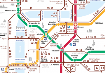
 Metro / Trams


