Červená hora
Map

Map

Facts and practical information
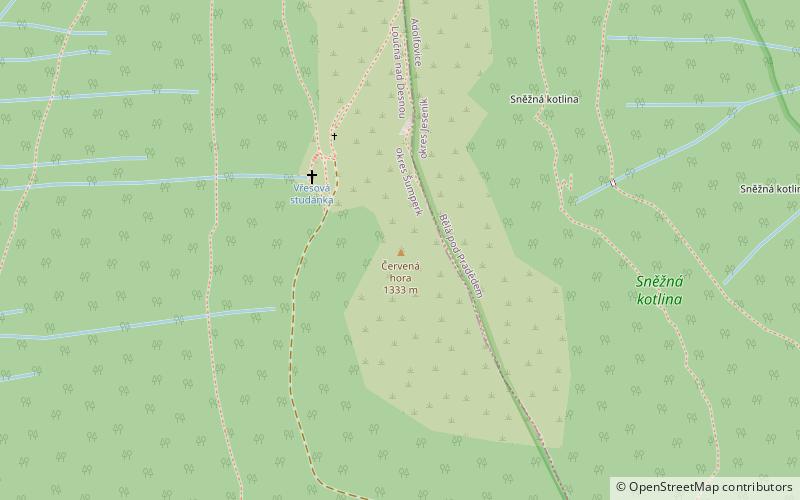
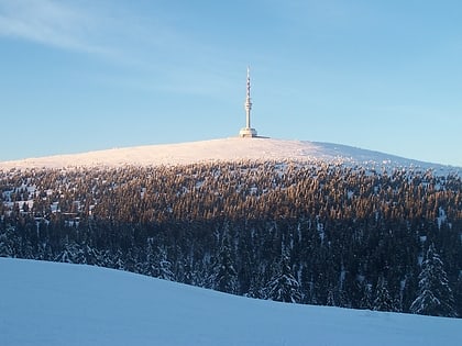
Červená Hora - a peak 1333 m a.s.l. In the mountain band of Wysokie Jesionik, in the North Eastern Czech Republic, in the Eastern Sudetes, on the historic border of Silesia and Moravia, within the Loučná commune nad Desnou, about 9.6 km northwest from the top of the Pradziad Mountain. The extent of the mountain is estimated at about 8.8 km².
Location
Olomoucký
ContactAdd
Social media
Add
Day trips
Červená hora – popular in the area (distance from the attraction)
Nearby attractions include: Praděd, Zámek Kolštejn se zříceninou hradu, Eastern Sudetes, Hrubý Jeseník.


