Vysoká hole

Gallery (1)
Map
Map
Facts and practical information
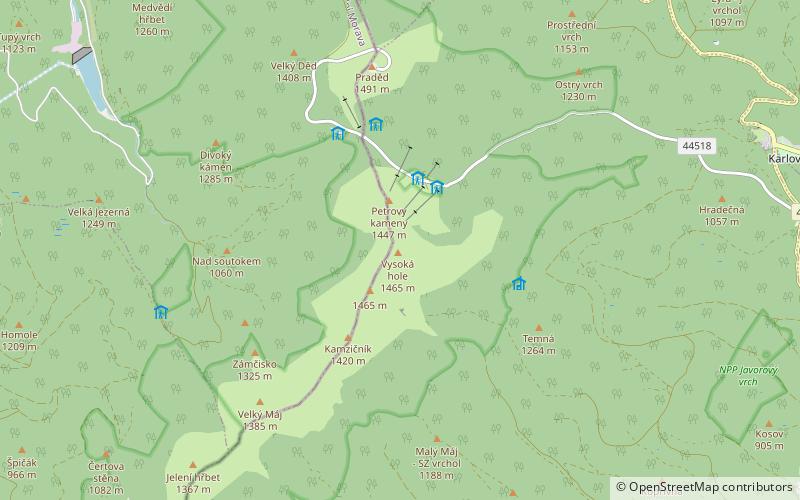
Vysoká Hole - peak with a height of 1465 m a.s.l. In the high mountain range of high ash, in the north-eastern Czech Republic, in the Eastern Sudetes, within the Malá Morávka commune, on the historical border of Silesia and Moravia, designated by standing at the top about 430 m southwest of the south of the top of 1681. This stone at the same time marked the boundaries of three feudal countries that coincided here: the Teutonic Order from Bruntál, the Velkolosiński state and the Janovicki state. The extent of the mountain is estimated at about 11.5 km², and the average slope of all slopes is about 9 °.
Location
Moravskoslezský
ContactAdd
Social media
Add
Day trips


