Veleslavín, Prague
Map

Map

Facts and practical information
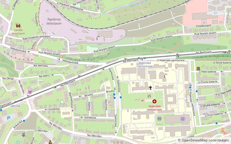
Veleslavín is a district of Prague, part of Prague 6, situated in the west of the city approximately 5 km from Ruzyně International Airport. It was probably founded in the 10th or 11th century, first recorded in records from the nearby Břevnov Monastery, and has been part of Prague since 1922. As of 2006, 6,548 people live here. ()
Address
Praha 6 (Praha Šest 7)Prague
ContactAdd
Social media
Add
Day trips
Veleslavín – popular in the area (distance from the attraction)
Nearby attractions include: Břevnov Monastery, Villa Müller, Obora Hvězda, Střešovice.
Frequently Asked Questions (FAQ)
Which popular attractions are close to Veleslavín?
Nearby attractions include Břevnov Monastery, Prague (13 min walk), Břevnov, Prague (14 min walk), Petřiny, Prague (16 min walk), Vokovice, Prague (21 min walk).
How to get to Veleslavín by public transport?
The nearest stations to Veleslavín:
Bus
Tram
Metro
Train
Bus
- Poliklinika Petřiny • Lines: 108, 164, 216 (3 min walk)
- Vojenská nemocnice • Lines: 108, 216 (3 min walk)
Tram
- Vojenská nemocnice • Lines: 1, 2, 96 (3 min walk)
- Větrník • Lines: 1, 2, 96 (9 min walk)
Metro
- Nádraží Veleslavín • Lines: A (14 min walk)
- Bořislavka • Lines: A (14 min walk)
Train
- Prague-Veleslavín (16 min walk)

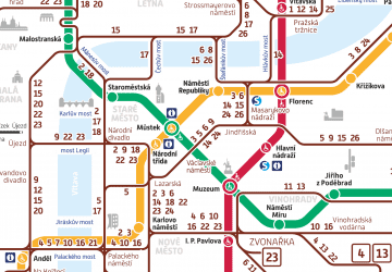
 Metro / Trams


