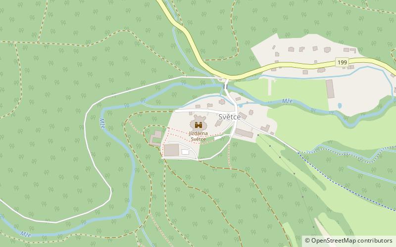
Jízdárna Světce
Map

Map

Facts and practical information
Světce is a part of the district town of Tachov. It is located in the northwest of Tachov. The road II/199 passes here. There are 18 addresses registered here. In 2011 there were 48 permanent residents. There is a secondary industrial school in Světce.
Světce is located in the cadastral area of Tachov with an area of 21.18 km2.
Area: 8.18 mi²Coordinates: 49°48'10"N, 12°36'25"E
Location
Plzeňský
ContactAdd
Social media
Add
Day trips
Jízdárna Světce – popular in the area (distance from the attraction)
Nearby attractions include: Muzeum Českého lesa v Tachově, Podkovák Nature Reserve.


