Číčov

Gallery (1)
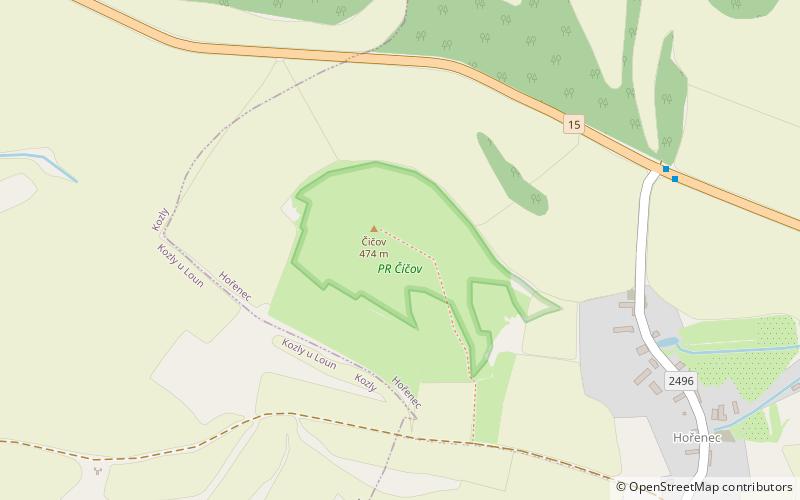
Map
Map
Facts and practical information
Číčov is a place located in Czech Republic and belongs to the category of relax in park, park.
It is situated at an altitude of 1486 feet, and its geographical coordinates are 50°27'39"N latitude and 13°48'6"E longitude.
Among other places and attractions worth visiting in the area are: Milá (nature, 68 min walk), NPP Kamenná slunce (park, 106 min walk), Bořeň (climbing, 126 min walk).
Elevation: 1486 ft a.s.l.Coordinates: 50°27'39"N, 13°48'6"E
Day trips


