Velký kámen

Gallery (1)
Map
Map
Facts and practical information
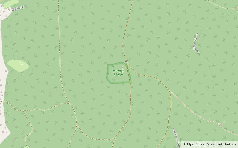
Velký kámen is a natural monument No. 499 in the Klatovy district. It is located on the west-facing slope of the hill V Kopaniny, east of the village Bližanovy. It is part of the Plánický hřeben Nature Park.
The reason for the protection is a rugged rock formation, about 60 m long, with a width of about 30 m and remnants of natural beech trees.
Area: 2.85 acres (0.0045 mi²)Coordinates: 49°25'27"N, 13°31'3"E
Day trips


